Zankhau
Zankhau is a locality in Bodelshausen, Tübingen, Baden-Württemberg. Zankhau is situated nearby to the locality Junkholz, as well as near Kornberg.| Tap on a place to explore it |
Places of Interest
Highlights include Vollmershalde and St. Johannes.


Winterhalde
Nature reserve

Photo: Vux, CC BY-SA 4.0.
Winterhalde is a nature reserve, which is situated 2½ km southeast of Zankhau.
Places in the Area
Nearby places include Hemmendorf and Hirrlingen.
Hemmendorf
Village
Hemmendorf is a suburban district of Rottenburg am Neckar in the administrative district of Tübingen in Baden-Württemberg.
Hirrlingen
Village

Photo: Rainer Halama, CC BY 2.5.
Hirrlingen is a municipality in the district of Tübingen in Baden-Württemberg in Germany. Hirrlingen is located about 15 kilometers southwest from Tübingen. Hirrlingen is situated 3½ km west of Zankhau.
Rangendingen
Village
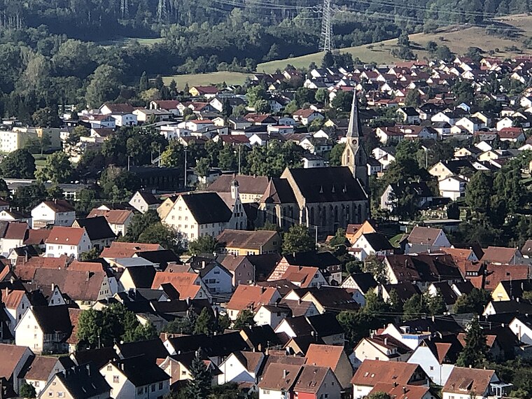
Photo: Zollernalb, CC BY-SA 4.0.
Rangendingen is a municipality of the Zollernalbkreis district, in Baden-Württemberg, Germany. Rangendingen is situated 4 km southwest of Zankhau.
Zankhau
- Type: Locality
- Location: Bodelshausen, Tübingen, Tübingen Region, Baden-Württemberg, Germany, Central Europe, Europe
- View on OpenStreetMap
Latitude
48.39921° or 48° 23′ 57″ northLongitude
8.93183° or 8° 55′ 55″ eastOpen location code
8FWC9WXJ+MPOpenStreetMap ID
node 13063238035OpenStreetMap feature
place=locality
This page is based on OpenStreetMap, Wikidata, and Wikimedia Commons.
We’d love your help improving our open data sources. Thank you for contributing.
Satellite Map
Discover Zankhau from above in high-definition satellite imagery.
Localities in the Area
Explore places such as Junkholz and Kornberg.
Notable Places Nearby
Highlights include Feuchtbiotop Teufelsbruck and Hohenstöffel.
Baden-Württemberg: Must-Visit Destinations
Delve into Stuttgart, Heidelberg, Karlsruhe, and Mannheim.
Curious Localities to Discover
Uncover intriguing localities from every corner of the globe.
About Mapcarta. Data © OpenStreetMap contributors and available under the Open Database License". Text is available under the CC BY-SA 4.0 license, except for photos, directions, and the map. Photo: Traveler100, CC BY-SA 3.0.