Duga ulica
Duga ulica is a neighborhood in Municipality of Kloštar Ivanić, Zagreb County. Duga ulica is situated nearby to the neighborhood Mirni dol, as well as near the village Kloštar Ivanić.| Tap on a place to explore it |
Places in the Area
Nearby places include Kloštar Ivanić and Caginec.
Kloštar Ivanić
Village

Photo: Frane Lovošević, CC BY-SA 3.0.
Kloštar Ivanić is a settlement and the surrounding municipality in central Croatia, located in the Zagreb County, about 50 kilometres southeast of the city of Zagreb and 30 kilometers north of Sisak.
Caginec
Village
Caginec is a village in Croatia. It is connected by the D43 highway. Caginec is situated 3 km southeast of Duga ulica.
Ivanić-Grad
Town
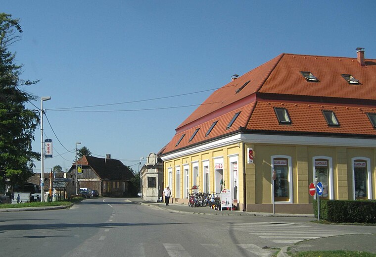
Photo: Croq, CC BY-SA 3.0.
Ivanić-Grad or Ivanić Grad is a town in Zagreb County, Croatia. Ivanić-Grad is situated 3½ km southwest of Duga ulica.
Duga ulica
- Type: Neighborhood
- Category: locality
- Location: Municipality of Kloštar Ivanić, Zagreb County, Croatia, Balkans, Europe
- View on OpenStreetMap
Latitude
45.72995° or 45° 43′ 48″ northLongitude
16.41805° or 16° 25′ 5″ eastOpen location code
8FQRPCH9+X6OpenStreetMap ID
node 13063766204OpenStreetMap feature
place=neighbourhood
This page is based on OpenStreetMap, Wikidata, and Wikimedia Commons.
We’d love your help improving our open data sources. Thank you for contributing.
Satellite Map
Discover Duga ulica from above in high-definition satellite imagery.
Localities in the Area
Explore places such as Mirni dol and Crveni kip.
Notable Places Nearby
Highlights include crkva Uznesenja Blažene Djevice Marije and Pučki dom.
Croatia: Must-Visit Destinations
Delve into Zagreb, Dubrovnik, Split, and Rijeka.
Curious Neighborhoods to Discover
Uncover intriguing neighborhoods from every corner of the globe.
About Mapcarta. Data © OpenStreetMap contributors and available under the Open Database License". Text is available under the CC BY-SA 4.0 license, except for photos, directions, and the map. Photo: Wikimedia, CC BY-SA 3.0.