418 Food Corp.
418 Food Corp. is a convenience store in Staten Island, New York. 418 Food Corp. is situated nearby to the arts center Universal Temple of the Arts, as well as near Good Hope Missionary Church.| Tap on a place to explore it |
Places of Interest Nearby
Highlights include Miraj Islamic School and Fort Hill Park.
Miraj Islamic School
School
Miraj Islamic School is a private Islamic school and community center in Tompkinsville area of Staten Island, New York. The school opened its doors in 1999 to only a handful of students and now serves approximately 266 students from Pre-kindergarten through 12th grade. Miraj Islamic School is situated 1,300 feet south of 418 Food Corp..
Fort Hill Park
Park
Fort Hill Park is a.845-acre public green space located in the St. George neighborhood of Staten Island, New York. It is located on the slope of the northernmost hilltop on the Dongan Hills ridge.
List of New York Public Library branches
Library
The New York Public Library system includes libraries in Manhattan, the Bronx, and Staten Island. This page is organized by borough, and alphabetically. The boroughs of Brooklyn and Queens are supported by their own separate library systems. List of New York Public Library branches is situated 3,300 feet northeast of 418 Food Corp..
Places in the Area
Nearby places include Tompkinsville and Hamilton Park.
Tompkinsville
Neighborhood
Tompkinsville is a neighborhood in northeastern Staten Island in New York City. Named for Daniel D. Tompkins, sixth Vice President of the United States, the neighborhood sits on the island's eastern shore, along the waterfront facing Upper New York Bay, between St. George on the north and Stapleton on the south; however, it is considered part of the North Shore by the island's residents.
Hamilton Park
Neighborhood
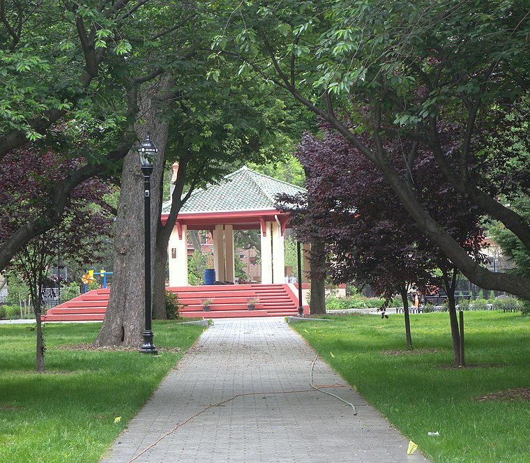
Photo: Jim.henderson, CC0.
Hamilton Park is a neighborhood in Historic Downtown Jersey City, Hudson County, in the U.S. state of New Jersey, centered on a park with the same name.
New Brighton
Neighborhood
New Brighton is a neighborhood located on the North Shore of Staten Island in New York City. The neighborhood comprises an older industrial and residential harbor front area along the Kill Van Kull west of St. George.
418 Food Corp.
- Type: Convenience store
- Categories: shop and food
- Location: Staten Island, New York, Mid-Atlantic, United States, North America
- View on OpenStreetMap
Latitude
40.63807° or 40° 38′ 17″ northLongitude
-74.08758° or 74° 5′ 15″ westOpen location code
87G7JWQ6+6XOpenStreetMap ID
node 13065604034OpenStreetMap feature
shop=convenience
This page is based on OpenStreetMap, Wikidata, and Wikimedia Commons.
We’d love your help improving our open data sources. Thank you for contributing.
Satellite Map
Discover 418 Food Corp. from above in high-definition satellite imagery.
Notable Places Nearby
Highlights include Universal Temple of the Arts and Good Hope Missionary Church.
Nearby Places
Explore places such as Su Shi Nago Cafe and Global Home Care.
New York: Must-Visit Destinations
Delve into New York City, Buffalo, Manhattan, and West Side.
Curious Convenience Stores to Discover
Uncover intriguing convenience stores from every corner of the globe.
About Mapcarta. Data © OpenStreetMap contributors and available under the Open Database License". Text is available under the CC BY-SA 4.0 license, except for photos, directions, and the map. Photo: Jjtkk, Public domain.