Meyer Menü Hildesheim
Meyer Menü Hildesheim is an office in Lower Saxony, Germany which is located on Fokkerstraße. Meyer Menü Hildesheim is situated nearby to the aerodrome Flugplatz Hildesheim-Drispenstedt, as well as near the public building Landesbetrieb NLWKN.| Tap on a place to explore it |
- Opening hours: Monday—Friday 7:00 AM—3:00 PM
- Type: Office
- Address: Fokkerstraße 4
Places of Interest Nearby
Highlights include Flugplatz Hildesheim-Drispenstedt and Hildesheim Hauptbahnhof.
Flugplatz Hildesheim-Drispenstedt
Aerodrome

Photo: Carsten Steger, CC BY-SA 4.0.
Flugplatz Hildesheim-Drispenstedt is an airfield located near Hildesheim, Lower Saxony, Germany. It was formerly Tofrek Barracks a British Army installation used during both the Second World War and the Cold War.
Hildesheim Hauptbahnhof
Railway station

Photo: Ramessos, Public domain.
Hildesheim Hauptbahnhof is the main railway station for the city of Hildesheim in Lower Saxony, Germany. The station opened in 1961 and is located on the Lehrte–Nordstemmen, Hildesheim–Brunswick and Hildesheim–Goslar railway. Hildesheim Hauptbahnhof is situated 2 km south of Meyer Menü Hildesheim.
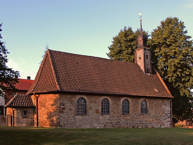
Steuerwald Castle
Castle

Photo: Torbenbrinker, CC BY-SA 3.0.
Steuerwald Castle is a Romanesque castle in Hildesheim, a city in Lower Saxony, Germany. The castle is currently used by a private riding club and is not open to the public. Steuerwald Castle is situated 1½ km southwest of Meyer Menü Hildesheim.
Places in the Area
Nearby places include Asel (Harsum) and Hildesheim.
Hildesheim

Photo: Mey2008, CC BY-SA 3.0.
Hildesheim is a city in Lower Saxony, in north-central Germany with 101,693 inhabitants. It is in the district of Hildesheim, about 30 km southeast of Hanover on the banks of the Innerste River, a small tributary of the Leine River.
Moritzberg
Neighborhood
Moritzberg is a quarter in the city of Hildesheim in Lower Saxony, Germany. It is on a hill in the west of the city, about a mile from the Cathedral. It was an independent market town until 1911. Moritzberg is situated 3½ km southwest of Meyer Menü Hildesheim.
Meyer Menü Hildesheim
- Location: Lower Saxony, Germany, Central Europe, Europe
- View on OpenStreetMap
Latitude
52.17716° or 52° 10′ 38″ northLongitude
9.94777° or 9° 56′ 52″ eastOperator
Invake FiebigOpen location code
9F4F5WGX+V4OpenStreetMap ID
node 13070699746OpenStreetMap feature
office=caterer
This page is based on OpenStreetMap, Wikidata, and Wikimedia Commons.
We’d love your help improving our open data sources. Thank you for contributing.
Satellite Map
Discover Meyer Menü Hildesheim from above in high-definition satellite imagery.
Notable Places Nearby
Highlights include Landesbetrieb NLWKN and HiClimb.
Nearby Places
Explore places such as Gewerbegebiet Hildesheim-Nord and Restaurant ohne Namen.
Lower Saxony: Must-Visit Destinations
Delve into Hanover, Göttingen, Brunswick, and Wolfsburg.
Curious Offices to Discover
Uncover intriguing offices from every corner of the globe.
About Mapcarta. Data © OpenStreetMap contributors and available under the Open Database License". Text is available under the CC BY-SA 4.0 license, except for photos, directions, and the map. Photo: Danapit, CC BY-SA 3.0.