14km Lausanne - Neuchâtel 55km
14km Lausanne - Neuchâtel 55km is a historic site in Echallens, Gros-de-Vaud District, Vaud. 14km Lausanne - Neuchâtel 55km is situated nearby to Ecurie Pollien, as well as near the library Bibliothèque régionale d’Echallens.| Tap on a place to explore it |
Places of Interest Nearby
Highlights include Echallens railway station and Museum of the House of wheat and bread.
Echallens railway station
Railway station

Photo: Abaddon1337, CC BY-SA 3.0.
Echallens railway station is a railway station in the municipality of Échallens, in the Swiss canton of Vaud. It is located on the 1,000 mm Lausanne–Bercher line of the Chemin de fer Lausanne-Échallens-Bercher. Echallens railway station is situated 1¼ km north of 14km Lausanne - Neuchâtel 55km.
Museum of the House of wheat and bread
Museum

Photo: Gameb, CC BY-SA 3.0.
Museum of the House of wheat and bread is situated 1½ km north of 14km Lausanne - Neuchâtel 55km.
Castle
Castle

Photo: Wikimedia, CC BY-SA 3.0.
Castle is situated 1½ km north of 14km Lausanne - Neuchâtel 55km.
Places in the Area
Nearby places include Échallens and Malapalud.
Échallens
Village
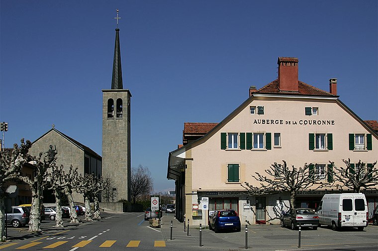
Photo: Wikimedia, CC BY-SA 3.0.
Échallens is a municipality in the district of Gros-de-Vaud in the canton of Vaud in Switzerland.
Malapalud
Village
Malapalud is a former municipality in the district of Échallens in the canton of Vaud in Switzerland. On 1 January 2009, it was merged with the municipality of Assens.
Assens
Village

Photo: Manoillon, CC BY-SA 3.0.
Assens is a municipality in the district of Gros-de-Vaud in the canton of Vaud in Switzerland. It includes the localities of Bioley-Orjulaz, Malapalud and Assens…
14km Lausanne - Neuchâtel 55km
- Type: Historic site
- Inscription: “LAUSANNE ECHALLENS 14 Km -> LAUSANNE - NEUCHATEL <- 55 Km (seul 14 Km -> est visible sur cette face car la borne est en partie enterrée)”
- Categories: tourist attraction and tourism
- Location: Echallens, Gros-de-Vaud District, Vaud, Western Switzerland, Switzerland, Central Europe, Europe
- View on OpenStreetMap
Latitude
46.62898° or 46° 37′ 44″ northLongitude
6.63374° or 6° 38′ 2″ eastInception
19th centuryHeight
0.42 metres (1.4 feet)Width
0.25 metres (0.82 feet)Open location code
8FR8JJHM+HFOpenStreetMap ID
node 13074218167OpenStreetMap feature
historic=milestone
This page is based on OpenStreetMap, Wikidata, and Wikimedia Commons.
We’d love your help improving our open data sources. Thank you for contributing.
Satellite Map
Discover 14km Lausanne - Neuchâtel 55km from above in high-definition satellite imagery.
Notable Places Nearby
Highlights include Ecurie Pollien and Bibliothèque régionale d’Echallens.
Nearby Places
Explore places such as Denner and Andréfleurs.
Vaud: Must-Visit Destinations
Delve into Lausanne, Montreux, Nyon, and Vevey.
Curious Historic Sites to Discover
Uncover intriguing historic sites from every corner of the globe.
About Mapcarta. Data © OpenStreetMap contributors and available under the Open Database License". Text is available under the CC BY-SA 4.0 license, except for photos, directions, and the map. Photo: Annickjaquillard, CC BY-SA 4.0.