Ehemaliger Hochbunker
Ehemaliger Hochbunker is a bunker in Cuxhaven, Elbe-Weser Triangle, Lower Saxony. Ehemaliger Hochbunker is situated nearby to the theater building Stadttheater Cuxhaven, as well as near the town hall Rathaus Cuxhaven.| Tap on a place to explore it |
Places of Interest Nearby
Highlights include Rathaus Cuxhaven and Stadtarchiv Cuxhaven.

Stadtarchiv Cuxhaven
Government office

Photo: Wikimedia, CC BY-SA 4.0.
Stadtarchiv Cuxhaven is a government office, which is situated 610 metres southeast of Ehemaliger Hochbunker.
Leuchtfeuer Cuxhaven
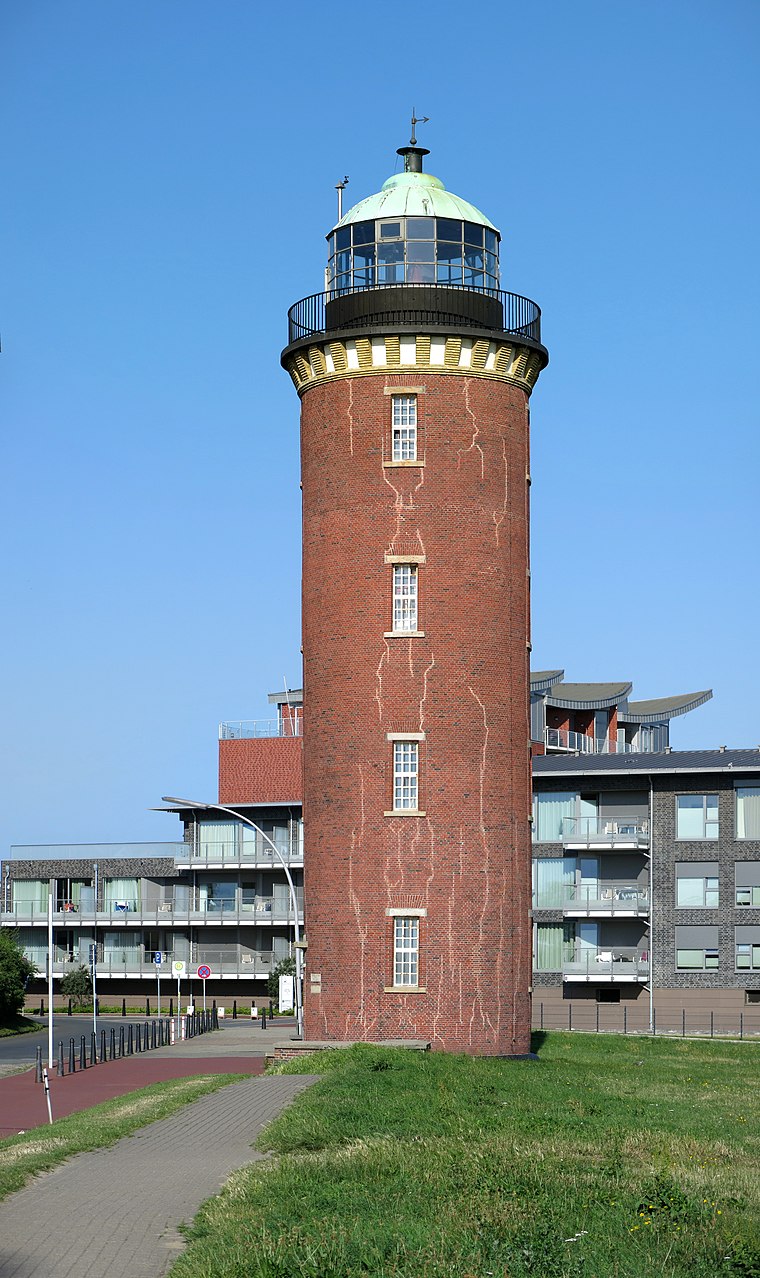
Photo: Milseburg, CC BY-SA 4.0.
Leuchtfeuer Cuxhaven is situated 1 km northeast of Ehemaliger Hochbunker.
Places in the Area
Nearby places include Lotsenviertel and Süder-Westerwisch.


Döse
Suburb

Photo: Tuxyso, CC BY-SA 3.0.
Döse the northernmost town in Lower Saxony, Germany at the point where the River Elbe flows into the North Sea. It is a borough of the city Cuxhaven and a popular seaside resort.
Ehemaliger Hochbunker
- Type: Bunker
- Categories: building and military installation
- Location: Cuxhaven, Cuxhaven, Elbe-Weser Triangle, Lower Saxony, Germany, Central Europe, Europe
- View on OpenStreetMap
Latitude
53.86816° or 53° 52′ 5″ northLongitude
8.69702° or 8° 41′ 49″ eastOpen location code
9F5CVM9W+7ROpenStreetMap ID
node 13084585593OpenStreetMap feature
building=bunkerOpenStreetMap feature
military=bunker
This page is based on OpenStreetMap, Wikidata, and Wikimedia Commons.
We’d love your help improving our open data sources. Thank you for contributing.
Satellite Map
Discover Ehemaliger Hochbunker from above in high-definition satellite imagery.
Notable Places Nearby
Highlights include Stadttheater Cuxhaven and Bürgerbüro Stadt Cuxhaven.
Nearby Places
Explore places such as Cuxhaven, Rathaus and Rathaus Süd.
Elbe-Weser Triangle: Must-Visit Destinations
Delve into Bremerhaven, Stade, Buxtehude, and Neuwerk.
Curious Bunkers to Discover
Uncover intriguing bunkers from every corner of the globe.
About Mapcarta. Data © OpenStreetMap contributors and available under the Open Database License". Text is available under the CC BY-SA 4.0 license, except for photos, directions, and the map. Photo: Ralf Roletschek, CC BY-SA 3.0.