Aerial Titans
Aerial Titans is a shop in DeKalb County, Georgia which is located on Lavista Rd. Aerial Titans is situated nearby to the library Northlake-Barbara Loar Branch, as well as near Briarcliff Village Shopping Center.| Tap on a place to explore it |
- Opening hours: Monday—Friday 9:00 AM—6:30 PM
- Type: Shop
- Address: 200A, 3758 Lavista Rd, Tucker, GA 30084
Places in the Area
Nearby places include Tucker and Clarkston.
Tucker
Town

Photo: Gulbenk, CC BY-SA 3.0.
Tucker is a city located in DeKalb County, Georgia, United States, located near Atlanta and was originally settled in the 1820s, and later developed as a railroad community in 1892. Tucker is situated 2½ miles east of Aerial Titans.
Clarkston
Town

Photo: Thomson200, CC0.
Clarkston is a city in DeKalb County, Georgia, United States. The population was 14,756 as of the 2020 census, up from 7,554 in 2010. The city is noted for its ethnic diversity, and is often referred to as "the most diverse square mile in America" and "the… Clarkston is situated 2½ miles southeast of Aerial Titans.
North Druid Hills
Village
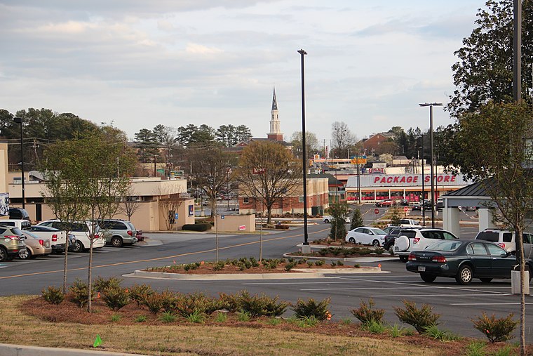
Photo: Thomson200, CC0.
North Druid Hills, also known as Briarcliff or Toco Hills, is an unincorporated community and census-designated place in DeKalb County, Georgia, United States. North Druid Hills is situated 3½ miles southwest of Aerial Titans.
Aerial Titans
- Location: DeKalb County, Georgia, South, United States, North America
- View on OpenStreetMap
Latitude
33.84208° or 33° 50′ 32″ northLongitude
-84.26199° or 84° 15′ 43″ westOpen location code
865QRPRQ+R6OpenStreetMap ID
node 13089865579OpenStreetMap feature
shop=mobile_industrial_equipment
This page is based on OpenStreetMap, Wikidata, and Wikimedia Commons.
We’d love your help improving our open data sources. Thank you for contributing.
Satellite Map
Discover Aerial Titans from above in high-definition satellite imagery.
Notable Places Nearby
Highlights include Northlake-Barbara Loar Branch and Briarcliff Village Shopping Center.
Nearby Places
Explore places such as Fork in the Road and Popeyes.
Georgia: Must-Visit Destinations
Delve into Atlanta, Savannah, Augusta, and Hartsfield–Jackson Atlanta International Airport.
Curious Shops to Discover
Uncover intriguing shops from every corner of the globe.
About Mapcarta. Data © OpenStreetMap contributors and available under the Open Database License". Text is available under the CC BY-SA 4.0 license, except for photos, directions, and the map. Photo: Wikimedia, CC0.