Versteinerter Zedernbaum
Versteinerter Zedernbaum is a memorial in Böhlen, Leipzig, Saxony. Versteinerter Zedernbaum is situated nearby to Böhlen (b Leipzig) railway station, as well as near the church Christophoruskirche.| Tap on a place to explore it |
Places of Interest Nearby
Highlights include Böhlen (b Leipzig) railway station and King Christ Church.
Böhlen (b Leipzig) railway station
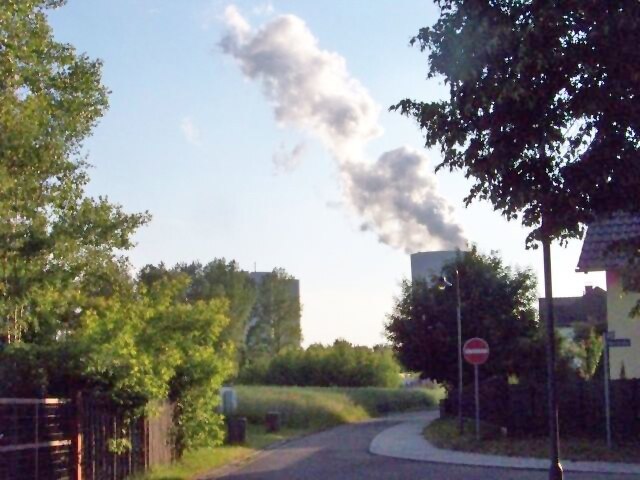
Railway station

Photo: Mef.ellingen, CC BY-SA 3.0.
Böhlen (b Leipzig) railway station is situated 110 metres northwest of Versteinerter Zedernbaum.
King Christ Church
Church

Photo: Jwaller, CC BY-SA 3.0.
King Christ Church is situated 480 metres east of Versteinerter Zedernbaum.
Kulturhaus Böhlen
Public building

Photo: Jwaller, CC BY-SA 3.0.
Kulturhaus Böhlen is a public building, which is situated 710 metres northeast of Versteinerter Zedernbaum.
Places in the Area
Nearby places include Gaulis and Lippendorf.
Lippendorf
Village

Photo: Elsteraue, CC BY-SA 3.0.
Lippendorf is located in the municipality of Neukieritzsch, near Leipzig in Saxony, Germany. The present town of Lippendorf used to be known as the village of Medewitzsch. Lippendorf is situated 3 km south of Versteinerter Zedernbaum.
Zwenkau
Town

Photo: Jwaller, CC BY-SA 3.0.
Zwenkau is a town in the district of Leipzig, in Saxony, Germany. Situated between the White Elster and Pleiße rivers, it nestles in the Leipzig Bay and includes parts of the conservation area Elsteraue and Central Germany's Street of Lignite. Zwenkau is situated 4½ km northwest of Versteinerter Zedernbaum.
Versteinerter Zedernbaum
- Type: Memorial
- Category: historic site
- Location: Böhlen, Leipzig, Saxony, Germany, Central Europe, Europe
- View on OpenStreetMap
Latitude
51.20218° or 51° 12′ 8″ northLongitude
12.38324° or 12° 22′ 60″ eastOpen location code
9F3J692M+V7OpenStreetMap ID
node 13090330943OpenStreetMap feature
historic=memorial
This page is based on OpenStreetMap, Wikidata, and Wikimedia Commons.
We’d love your help improving our open data sources. Thank you for contributing.
Satellite Map
Discover Versteinerter Zedernbaum from above in high-definition satellite imagery.
Notable Places Nearby
Highlights include Christophoruskirche and Bestell-Shop.
Nearby Places
Explore places such as Stadtwappen Böhlen and Pension ‘Zum Bergmann’.
Saxony: Must-Visit Destinations
Delve into Dresden, Leipzig, Chemnitz, and Meißen.
Curious Memorials to Discover
Uncover intriguing memorials from every corner of the globe.
About Mapcarta. Data © OpenStreetMap contributors and available under the Open Database License". Text is available under the CC BY-SA 4.0 license, except for photos, directions, and the map. Photo: Taxiarchos228, FAL.