Urandia
Urandia is a peak in Valle de Egüés, Navarre and has an elevation of 598 metres. Urandia is situated nearby to the locality Cuesta la Loba, as well as near La Cuesta.| Tap on a place to explore it |
Places of Interest
Highlights include Malkaitz.

Places in the Area
Nearby places include Huarte/Uharte and Sarriguren.
Huarte/Uharte
Village
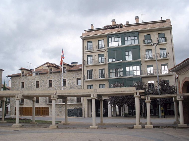
Photo: Zarateman, CC BY-SA 4.0.
Huarte or Uharte is a town and municipality located in the province and autonomous community of Navarre, northern Spain.
Sarriguren
Town
Sarriguren is a locality located in the municipality of Valle de Egüés, in Navarre province, Spain, Spain. As of 2020, it has a population of 15,665. Sarriguren is the capital of the municipality of Valle de Egüés.
Gorráiz
Village
Gorráiz is a locality located in the municipality of Valle de Egüés, in Navarre province, Spain, Spain. As of 2020, it has a population of 3,601.
Urandia
- Type: Peak with an elevation of 598 metres
- Category: landform
- Location: Valle de Egüés, Navarre, Northern Spain, Spain, Iberia, Europe
- View on OpenStreetMap
Latitude
42.8212° or 42° 49′ 16″ northLongitude
-1.5257° or 1° 31′ 33″ westElevation
598 metres (1,962 feet)Open location code
8CJWRFCF+FPOpenStreetMap ID
node 13100228450OpenStreetMap feature
natural=peak
This page is based on OpenStreetMap, Wikidata, and Wikimedia Commons.
We’d love your help improving our open data sources. Thank you for contributing.
Satellite Map
Discover Urandia from above in high-definition satellite imagery.
Localities in the Area
Explore places such as Urandia and Cuesta la Loba.
Notable Places Nearby
Highlights include Monte Grande and Fuente del Batueco.
Navarre: Must-Visit Destinations
Delve into Pamplona, Roncesvalles, and Uterga.
Curious Peaks to Discover
Uncover intriguing peaks from every corner of the globe.
About Mapcarta. Data © OpenStreetMap contributors and available under the Open Database License". Text is available under the CC BY-SA 4.0 license, except for photos, directions, and the map. Photo: Artsuaga, CC BY-SA 3.0.