Textilní továrny v roce 1890
Textilní továrny v roce 1890 is a historic site in Krnov, Bruntál District, Moravian-Silesian Region. Textilní továrny v roce 1890 is situated nearby to Church of the Holy Spirit, as well as near the monastery Klášter Minoritů.| Tap on a place to explore it |
Places of Interest Nearby
Highlights include Church of the Holy Spirit and Krnov Castle.

Krnov Castle

Photo: Herbert Ortner, CC BY 2.5.
Krnov Castle is situated 460 metres southwest of Textilní továrny v roce 1890.
Church of the Exaltation of the Holy Cross
Church
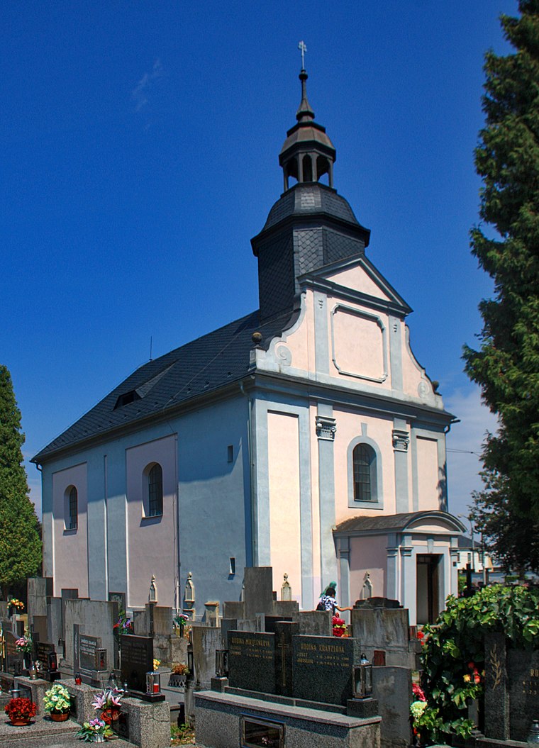
Photo: Wikimedia, CC BY-SA 4.0.
Church of the Exaltation of the Holy Cross is situated 420 metres northwest of Textilní továrny v roce 1890.
Places in the Area
Nearby places include Krnov and Ciermięcice.
Krnov
Town

Photo: Herbert Ortner, CC BY 2.5.
Krnov is a town in Bruntál District in the Moravian-Silesian Region of the Czech Republic. It has about 23,000 inhabitants. The town is known for the production of the cola-based drink Kofola.
Ciermięcice
Village

Photo: Sicherlich, CC BY 3.0.
Ciermięcice is a village located in Poland, in the Opole Voivodeship, Głubczyce County and Gmina Głubczyce. Potok Ciermięcicki, the left tributary of the Opava river, flows through the village.
Chomiąża
Village

Photo: Sicherlich, CC BY 3.0.
Chomiąża is a village located in Poland, in the Opole Voivodeship, Głubczyce County and Gmina Głubczyce. Chomiąża is situated 3½ km northwest of Textilní továrny v roce 1890.
Textilní továrny v roce 1890
- Type: Tourist attraction
- Categories: tourism, historic site, and memorial
- Location: Krnov, Bruntál District, Moravian-Silesian Region, Czech Republic, Central Europe, Europe
- View on OpenStreetMap
Latitude
50.09067° or 50° 5′ 26″ northLongitude
17.70689° or 17° 42′ 25″ eastOpen location code
9F2V3PR4+7QOpenStreetMap ID
node 13109212109OpenStreetMap feature
historic=memorialOpenStreetMap feature
tourism=attraction
This page is based on OpenStreetMap, Wikidata, and Wikimedia Commons.
We’d love your help improving our open data sources. Thank you for contributing.
Satellite Map
Discover Textilní továrny v roce 1890 from above in high-definition satellite imagery.
Notable Places Nearby
Highlights include Klášter Minoritů and kostel Narození Panny Marie.
Nearby Places
Explore places such as Hotel Steiger and Kebab House.
Czech Republic: Must-Visit Destinations
Delve into Prague, Brno, Pilsen, and Ostrava.
Curious Places to Discover
Uncover intriguing places from every corner of the globe.
About Mapcarta. Data © OpenStreetMap contributors and available under the Open Database License". Text is available under the CC BY-SA 4.0 license, except for photos, directions, and the map. Photo: john mcsporran, CC BY 2.0.