Oberer Rossbühl
Oberer Rossbühl is a locality in Bad Ditzenbach, Göppingen, Baden-Württemberg. Oberer Rossbühl is situated nearby to the locality Obrer Rossbühl, as well as near Scheinbach.| Tap on a place to explore it |
Places of Interest
Highlights include Fuchseck and Gruibingen-Nortel airfield.
Fuchseck
Peak

Photo: Wikimedia, Copyrighted free use.
The Fuchseck is a 762m high mountain on the northern edge of the Swabian Alb in Baden-Württemberg, Germany. The mountain is surrounded by the towns of Gammelshausen, Eschenbach, Schlat and Bad Ditzenbach.
Gruibingen-Nortel airfield
Aerodrome

Photo: Carsten Steger, CC BY-SA 4.0.
Gruibingen-Nortel airfield is an aerodrome.
Wasserberg
Peak
Wasserberg is a mountain in the Swabian Jura in the German state of Baden-Württemberg. Wasserberg is situated 2½ km northeast of Oberer Rossbühl.
Places in the Area
Nearby places include Schlat and Bezgenriet.
Schlat
Village

Photo: Richard Huber, CC BY 3.0.
Schlat is a municipality in the district of Göppingen in Baden-Württemberg, Germany. Schlat is situated 4 km northeast of Oberer Rossbühl.
Bezgenriet
Village
Bezgenriet is the most southern district of Göppingen in Germany. Schopflenberg, which was created after Second World War by increased influx of refugees and displaced persons, belongs to the Stadtteil Bezgenriet. Bezgenriet is situated 7 km northwest of Oberer Rossbühl.
Jebenhausen
Village
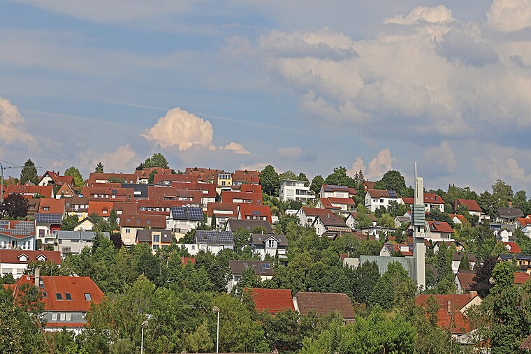
Photo: W. Bulach, CC BY-SA 4.0.
Jebenhausen is a village, which is situated 8 km northwest of Oberer Rossbühl.
Oberer Rossbühl
- Type: Locality
- Location: Bad Ditzenbach, Göppingen, Stuttgart, Baden-Württemberg, Germany, Central Europe, Europe
- View on OpenStreetMap
Latitude
48.62261° or 48° 37′ 21″ northLongitude
9.68351° or 9° 41′ 1″ eastOpen location code
8FWFJMFM+2COpenStreetMap ID
node 13115976647OpenStreetMap feature
place=locality
This page is based on OpenStreetMap, Wikidata, and Wikimedia Commons.
We’d love your help improving our open data sources. Thank you for contributing.
Satellite Map
Discover Oberer Rossbühl from above in high-definition satellite imagery.
Localities in the Area
Explore places such as Rossbühl and Obrer Rossbühl.
Notable Places Nearby
Highlights include Pfaffenberg and Schorn.
Baden-Württemberg: Must-Visit Destinations
Delve into Stuttgart, Heidelberg, Karlsruhe, and Mannheim.
Curious Localities to Discover
Uncover intriguing localities from every corner of the globe.
About Mapcarta. Data © OpenStreetMap contributors and available under the Open Database License". Text is available under the CC BY-SA 4.0 license, except for photos, directions, and the map. Photo: Traveler100, CC BY-SA 3.0.