Campo-L Fonte da Igreja 2
Campo-L Fonte da Igreja 2 is a bus stop in Campo, Viseu. Campo-L Fonte da Igreja 2 is situated nearby to the sports venue Polidesportivo de São José, as well as near the church Capela da Senhora dos Milagres..| Tap on a place to explore it |
Places of Interest Nearby
Highlights include Museu do Quartzo and Castro de Santa Luzia.
Museu do Quartzo
Museum

Photo: NelsonCM, CC BY-SA 3.0.
Museu do Quartzo is a museum, which is situated 1¼ km southwest of Campo-L Fonte da Igreja 2.
Castro de Santa Luzia
Archaeological site

Photo: Concierge.2C, CC BY-SA 3.0.
Castro de Santa Luzia is an archaeological site, which is situated 1 km southwest of Campo-L Fonte da Igreja 2.
Viseu Airport
Aerodrome
Viseu Airport, also known as Gonçalves Lobato Airport is an airport in Viseu, Portugal. Viseu Airport is situated 3 km northeast of Campo-L Fonte da Igreja 2.
Places in the Area
Nearby places include Abraveses and Mundão.
Abraveses
Village

Photo: Vitor Oliveira, CC BY-SA 2.0.
Abraveses is a Freguesia in the municipality of Viseu, in the Portuguese central subregion of Dão-Lafões. The population in 2011 was 8,539, in an area of 12.23 km². Abraveses is situated 3½ km south of Campo-L Fonte da Igreja 2.
Mundão
Village
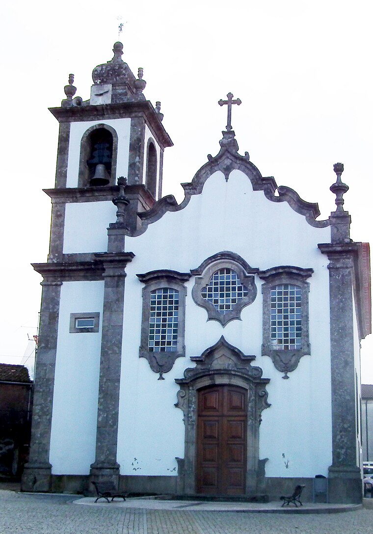
Photo: Jc.magno, Public domain.
Mundão is a village, which is situated 4½ km east of Campo-L Fonte da Igreja 2.
Orgens
Village

Photo: Jcoutinho, CC BY-SA 3.0.
Orgens is a village, which is situated 5 km south of Campo-L Fonte da Igreja 2.
Campo-L Fonte da Igreja 2
- Type: Bus stop
- Category: transportation
- Location: Campo, Viseu, Viseu District, Portugal, Iberia, Europe
- View on OpenStreetMap
Latitude
40.70718° or 40° 42′ 26″ northLongitude
-7.91549° or 7° 54′ 56″ westOperator
Vdl MobilidadeNetwork
MobiViseuDãoLafõesOpen location code
8CGJP34M+VROpenStreetMap ID
node 13147165508OpenStreetMap feature
highway=bus_stopOpenStreetMap feature
public_transport=platform
This page is based on OpenStreetMap, Wikidata, and Wikimedia Commons.
We’d love your help improving our open data sources. Thank you for contributing.
Satellite Map
Discover Campo-L Fonte da Igreja 2 from above in high-definition satellite imagery.
Notable Places Nearby
Highlights include Polidesportivo de São José and Capela da Senhora dos Milagres..
Nearby Places
Explore places such as Campo-L Fonte da Igreja and Escola Básica de Campo.
Portugal: Must-Visit Destinations
Delve into Lisbon, Caldas da Rainha, Porto, and Coimbra.
Curious Bus Stops to Discover
Uncover intriguing bus stops from every corner of the globe.
About Mapcarta. Data © OpenStreetMap contributors and available under the Open Database License". Text is available under the CC BY-SA 4.0 license, except for photos, directions, and the map. Photo: Michal Gorski, CC BY-SA 3.0.