Es. St. Amaro - Bertelhe B
Es. St. Amaro - Bertelhe B is a bus stop in Barreiros e Cepões, Viseu. Es. St. Amaro - Bertelhe B is situated nearby to the village Cavernães, as well as near São Pedro de France.| Tap on a place to explore it |
Places in the Area
Nearby places include Cavernães and São Pedro de France.
Cavernães
Village

Photo: Hipersyl, CC BY-SA 4.0.
Cavernães is a village, which is situated 4 km south of Es. St. Amaro - Bertelhe B.
São Pedro de France
Village

Photo: Hipersyl, CC BY-SA 4.0.
São Pedro de France is a village, which is situated 5 km southeast of Es. St. Amaro - Bertelhe B.
Mundão
Village
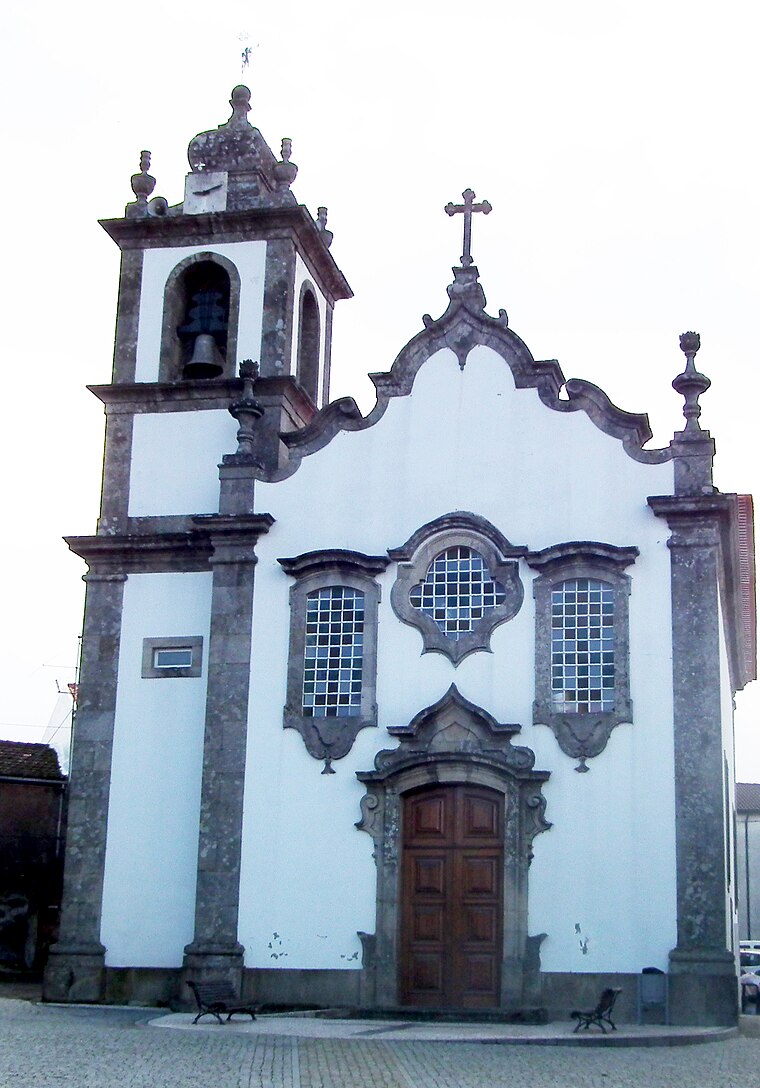
Photo: Jc.magno, Public domain.
Mundão is a village, which is situated 6 km southwest of Es. St. Amaro - Bertelhe B.
Es. St. Amaro - Bertelhe B
- Type: Bus stop
- Category: transportation
- Location: Barreiros e Cepões, Viseu, Viseu District, Portugal, Iberia, Europe
- View on OpenStreetMap
Latitude
40.74378° or 40° 44′ 38″ northLongitude
-7.82728° or 7° 49′ 38″ westOperator
Vdl MobilidadeNetwork
MobiViseuDãoLafõesOpen location code
8CGJP5VF+G3OpenStreetMap ID
node 13147165658OpenStreetMap feature
highway=bus_stopOpenStreetMap feature
public_transport=platform
This page is based on OpenStreetMap, Wikidata, and Wikimedia Commons.
We’d love your help improving our open data sources. Thank you for contributing.
Satellite Map
Discover Es. St. Amaro - Bertelhe B from above in high-definition satellite imagery.
Notable Places Nearby
Highlights include Lage da Quinta das Sobreiras and Campo desportivo Cavernães.
Nearby Places
Explore places such as Es. St. Amaro - Bertelhe A and Estr. Santo Amaro - Bertelhe B.
Portugal: Must-Visit Destinations
Delve into Lisbon, Caldas da Rainha, Porto, and Coimbra.
Curious Bus Stops to Discover
Uncover intriguing bus stops from every corner of the globe.
About Mapcarta. Data © OpenStreetMap contributors and available under the Open Database License". Text is available under the CC BY-SA 4.0 license, except for photos, directions, and the map. Photo: Michal Gorski, CC BY-SA 3.0.