Pascoal-Manuel Loureiro
Pascoal-Manuel Loureiro is a bus stop in Abraveses, Viseu. Pascoal-Manuel Loureiro is situated nearby to the square Largo do Rossio, as well as near the church Capela de Pascoal.| Tap on a place to explore it |
Places of Interest Nearby
Highlights include Museu do Quartzo and Castro de Santa Luzia.
Museu do Quartzo
Museum

Photo: NelsonCM, CC BY-SA 3.0.
Museu do Quartzo is a museum, which is situated 1½ km north of Pascoal-Manuel Loureiro.
Castro de Santa Luzia
Archaeological site

Photo: Concierge.2C, CC BY-SA 3.0.
Castro de Santa Luzia is an archaeological site, which is situated 1½ km north of Pascoal-Manuel Loureiro.
Viseu Cathedral
Church

Photo: MaximilienM, CC BY 3.0.
Viseu Cathedral is the Catholic bishopric seat of the city of Viseu, in Portugal. The church started being built in the 12th century and is the most important historical monument of the town. Viseu Cathedral is situated 3 km southeast of Pascoal-Manuel Loureiro.
Places in the Area
Nearby places include Orgens and Mundão.
Orgens
Village

Photo: Jcoutinho, CC BY-SA 3.0.
Orgens is a village, which is situated 2½ km south of Pascoal-Manuel Loureiro.
Mundão
Village
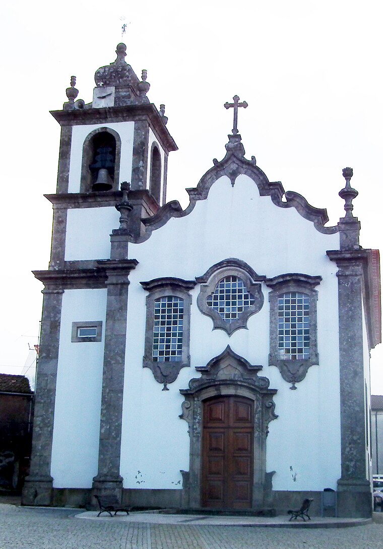
Photo: Jc.magno, Public domain.
Mundão is a village, which is situated 5 km east of Pascoal-Manuel Loureiro.
São João de Lourosa
Village
São João de Lourosa is a civil parish in the municipality of Viseu, Portugal. It has 24.30 km2 and had 4702 inhabitants in the 2011 census. São João de Lourosa is situated 8 km south of Pascoal-Manuel Loureiro.
Pascoal-Manuel Loureiro
- Type: Bus stop
- Category: transportation
- Location: Abraveses, Viseu, Viseu District, Portugal, Iberia, Europe
- View on OpenStreetMap
Latitude
40.68486° or 40° 41′ 6″ northLongitude
-7.92717° or 7° 55′ 38″ westOperator
Vdl MobilidadeNetwork
MobiViseuDãoLafõesOpen location code
8CGJM3MF+W4OpenStreetMap ID
node 13147165700OpenStreetMap feature
highway=bus_stopOpenStreetMap feature
public_transport=platform
This page is based on OpenStreetMap, Wikidata, and Wikimedia Commons.
We’d love your help improving our open data sources. Thank you for contributing.
Satellite Map
Discover Pascoal-Manuel Loureiro from above in high-definition satellite imagery.
Notable Places Nearby
Highlights include Largo do Rossio and Capela de Pascoal.
Nearby Places
Explore places such as Pascoal-Manuel Loureiro 2 and Móveis Santos Cruz.
Portugal: Must-Visit Destinations
Delve into Lisbon, Caldas da Rainha, Porto, and Coimbra.
Curious Bus Stops to Discover
Uncover intriguing bus stops from every corner of the globe.
About Mapcarta. Data © OpenStreetMap contributors and available under the Open Database License". Text is available under the CC BY-SA 4.0 license, except for photos, directions, and the map. Photo: Michal Gorski, CC BY-SA 3.0.