R. Nitsche
R. Nitsche is a cobbler in Blankenburg, Harz, Saxony-Anhalt. R. Nitsche is situated nearby to the memorial Stolperstein dedicated to Conrad Hesse, as well as near Tummelplatz.| Tap on a place to explore it |
- Opening hours:
Monday—Friday: 9:00 AM—6:00 PM
Saturday: 9:00 AM—noon - Type: Cobbler
- Wheelchair access: no
Places of Interest Nearby
Highlights include Herbergsmuseum and Stolperstein dedicated to Conrad Hesse.
Herbergsmuseum
Museum
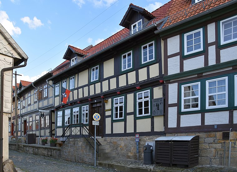
Photo: Migebert, CC BY-SA 3.0.
Herbergsmuseum is situated 220 metres south of R. Nitsche.
Stolperstein dedicated to Conrad Hesse
Memorial

Photo: Migebert, CC BY-SA 3.0.
Stolperstein dedicated to Conrad Hesse is a memorial.
Kleines Schloss
Historic building

Photo: Krajo, CC BY-SA 3.0.
Kleines Schloss is a historic building, which is situated 260 metres southeast of R. Nitsche.
Places in the Area
Nearby places include Wendefurth and Neuwerk.
Wendefurth
Hamlet

Photo: B.Thomas95, CC BY-SA 4.0.
Wendefurth is a hamlet in central Germany that, since 1 July 2009, has been part of the borough of Thale district of Harz. Previously it belonged to the municipality of Altenbrak which was incorporated into Thale. Wendefurth is situated 6 km southwest of R. Nitsche.
Neuwerk
Village

Photo: Wikimedia, CC BY-SA 3.0.
Neuwerk is a village, which is situated 7 km southwest of R. Nitsche.
Thale

Photo: ImagesAM, CC BY-SA 4.0.
Thale is a town in the Harz district in Saxony-Anhalt in central Germany. Located at the steep northeastern rim of the Harz mountain range, it is known for the scenic Bode Gorge stretching above the town centre.
R. Nitsche
- Category: workshop
- Location: Blankenburg, Harz, Saxony-Anhalt, Germany, Central Europe, Europe
- View on OpenStreetMap
Latitude
51.79015° or 51° 47′ 25″ northLongitude
10.95681° or 10° 57′ 25″ eastOpen location code
9F3GQXR4+3POpenStreetMap ID
node 13156955814OpenStreetMap feature
craft=shoemakerOpenStreetMap attribute
wheelchair=no
This page is based on OpenStreetMap, Wikidata, and Wikimedia Commons.
We’d love your help improving our open data sources. Thank you for contributing.
Satellite Map
Discover R. Nitsche from above in high-definition satellite imagery.
Notable Places Nearby
Highlights include Tummelplatz and Standesamt.
Nearby Places
Explore places such as R. Nitsche and Syrtaki bei Bess’a.
Saxony-Anhalt: Must-Visit Destinations
Delve into Magdeburg, Halle, Wittenberg, and Quedlinburg.
Curious Cobblers to Discover
Uncover intriguing cobblers from every corner of the globe.
About Mapcarta. Data © OpenStreetMap contributors and available under the Open Database License". Text is available under the CC BY-SA 4.0 license, except for photos, directions, and the map. Photo: Mr. TI., CC BY 3.0.