El Telar de Miguel Martí
El Telar de Miguel Martí is an event venue in Burjassot, Valencia, Valencian Community. El Telar de Miguel Martí is situated nearby to the suburb Poblados del Oeste, as well as near the health club McFit.| Tap on a place to explore it |
Places of Interest Nearby
Highlights include IMED Valencia and Palau de Congressos de València.
IMED Valencia
Hospital

Photo: Grupo3Comi, CC BY-SA 4.0.
IMED Valencia is a hospital, which is situated 650 metres northeast of El Telar de Miguel Martí.
Palau de Congressos de València
Convention center
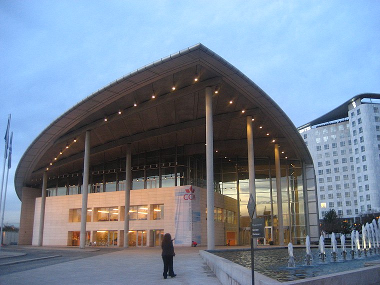
Photo: Felipe Araya Allende, CC BY-SA 2.0.
Palau de Congressos de València is a convention center, which is situated 1 km east of El Telar de Miguel Martí.
Luis Puig Palace
Stadium

Photo: freshwater2006, CC BY 2.0.
Luis Puig Palace is an arena in Valencia, Spain. It is primarily used for indoor sports and hosted the 2008 IAAF World Indoor Championships. The arena also hosts a 250 metres painted concrete cycling track which played host to the 1992 UCI Track Cycling World Championships. Luis Puig Palace is situated 1½ km west of El Telar de Miguel Martí.
Places in the Area
Nearby places include Poblados del Oeste and Beniferri.

Beniferri
Village

Photo: Qoan, CC BY-SA 3.0.
Beniferri is a town located in the Pobles de l'Oest district of the municipality of Valencia.
Benimàmet
Village

Photo: Googledance, CC BY 3.0.
Benimàmet is an old municipality now integrated as an urban part of Valencia, Spain. The name Benimàmet 'sons of Muhammad' is derived from Arabic during Muslim-ruled Al-Andalus.
El Telar de Miguel Martí
- Type: Event venue
- Location: Burjassot, Valencia, Valencian Community, Eastern Spain, Spain, Iberia, Europe
- View on OpenStreetMap
Latitude
39.49688° or 39° 29′ 49″ northLongitude
-0.41183° or 0° 24′ 43″ westOpen location code
8CFXFHWQ+Q7OpenStreetMap ID
node 13160587623OpenStreetMap feature
amenity=events_venue
This page is based on OpenStreetMap, Wikidata, and Wikimedia Commons.
We’d love your help improving our open data sources. Thank you for contributing.
Satellite Map
Discover El Telar de Miguel Martí from above in high-definition satellite imagery.
Notable Places Nearby
Highlights include McFit and Centro Comercial Parque Ademúz.
Nearby Places
Explore places such as Mossén Miguel Tarín (imparell) - Carretera de Paterna and Maxcolchón.
Valencia: Must-Visit Destinations
Delve into Valencia, Sagunto, Gandía, and Xàtiva.
Curious Event Venues to Discover
Uncover intriguing event venues from every corner of the globe.
About Mapcarta. Data © OpenStreetMap contributors and available under the Open Database License". Text is available under the CC BY-SA 4.0 license, except for photos, directions, and the map. Photo: andruby, CC BY 2.0.