Puzzlespiel
Puzzlespiel is in Thuringia, Germany. Puzzlespiel is situated nearby to the meadow Reitplatz, as well as near the reservoir Hochbehälter Steiger.| Tap on a place to explore it |
Places of Interest Nearby
Highlights include Steigerwaldstadion and Bismarck Tower.
Steigerwaldstadion
Stadium

Photo: Arne Müseler, CC BY-SA 4.0.
Steigerwaldstadion is a multi-purpose stadium in Erfurt, Germany. The stadium is able to hold 18,611 people and was built in 1931. It is currently used mostly for football matches and is the home stadium of FC Rot-Weiß Erfurt. Steigerwaldstadion is situated 1½ km northeast of Puzzlespiel.
Bismarck Tower
Scenic viewpoint

Photo: Tilman2007, CC BY-SA 4.0.
Bismarck Tower is a scenic viewpoint, which is situated 1½ km east of Puzzlespiel.
Landtag of Thuringia parliamentary groups building
Public building

Photo: Michael Sander, CC BY-SA 3.0.
Landtag of Thuringia parliamentary groups building is a public building, which is situated 1½ km northeast of Puzzlespiel.
Places in the Area
Nearby places include Hochheim and Erfurt.

Erfurt
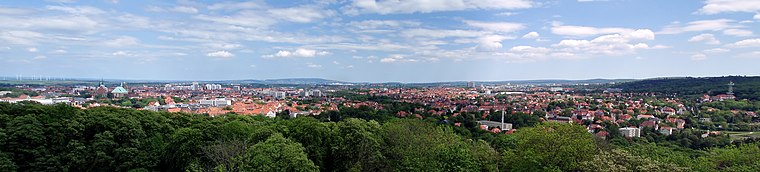 Erfurt is the capital of the German state of Thuringia. The city is the largest one in that province and likewise a major transportation hub.
Andreasviertel
Neighborhood

Photo: Michael Sander, CC BY-SA 3.0.
Andreasviertel is a neighborhood, which is situated 3 km north of Puzzlespiel.
Puzzlespiel
- Type: Sign
- Categories: information and tourism
- Location: Thuringia, Germany, Central Europe, Europe
- View on OpenStreetMap
Latitude
50.9529° or 50° 57′ 10″ northLongitude
11.01842° or 11° 1′ 6″ eastOpen location code
9F2HX239+59OpenStreetMap ID
node 13167557660OpenStreetMap feature
tourism=information
This page is based on OpenStreetMap, Wikidata, and Wikimedia Commons.
We’d love your help improving our open data sources. Thank you for contributing.
Satellite Map
Discover Puzzlespiel from above in high-definition satellite imagery.
Notable Places Nearby
Highlights include Reitplatz and Hochbehälter Steiger.
Nearby Places
Explore places such as Anatomie eines Baumes am Beispiel der Kiefer and Der Eichen-Stubben.
Curious Places to Discover
Uncover intriguing places from every corner of the globe.
About Mapcarta. Data © OpenStreetMap contributors and available under the Open Database License". Text is available under the CC BY-SA 4.0 license, except for photos, directions, and the map. Photo: Taxiarchos228, FAL.