Scheuer & Soentgen
Scheuer & Soentgen is a beauty salon in Cologne, Cologne Lowland, North Rhine-Westphalia which is located on Venloer Straße. Scheuer & Soentgen is situated nearby to the sports venue LaserTag Köln, as well as near the park Der Rosengarten.| Tap on a place to explore it |
- Type: Beauty salon
- Address: Venloer Straße 688
- Wheelchair access: limited
Places of Interest Nearby
Highlights include Rochuskapelle and St. Dreikönigen.
Rochuskapelle
Church

Photo: Superbass, CC BY-SA 4.0.
Rochuskapelle is a church, which is situated 320 metres southeast of Scheuer & Soentgen.
St. Dreikönigen
Church
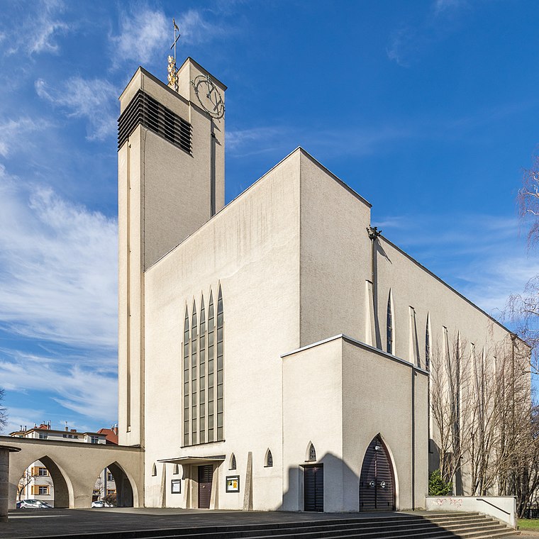
Photo: Wikimedia, CC BY-SA 4.0.
St. Dreikönigen is a church, which is situated 340 metres northwest of Scheuer & Soentgen.
Akazienweg station
Tram stop

Photo: ZH2010, CC BY-SA 3.0.
Akazienweg is an underground station on the Cologne Stadtbahn lines 3 and 4 in Cologne. The station lies on the intersection of Venloer Straße and Akazienweg streets in the district of Ehrenfeld. Akazienweg station is situated 280 metres northwest of Scheuer & Soentgen.
Places in the Area
Nearby places include Bickendorf and Ehrenfeld.


Bilderstöckchen
Suburb

Photo: Superbass, CC BY-SA 3.0.
Nippes is the fifth borough of Cologne, Germany. Nippes was incorporated into the city of Cologne in 1888 and the district was created in 1975. A large Ford Europe production plant is located in Niehl, the north-eastern part of the district. Bilderstöckchen is situated 2½ km northeast of Scheuer & Soentgen.
Scheuer & Soentgen
- Category: shop
- Location: Cologne, Cologne District, Cologne Lowland, North Rhine-Westphalia, Germany, Central Europe, Europe
- View on OpenStreetMap
Latitude
50.95919° or 50° 57′ 33″ northLongitude
6.89739° or 6° 53′ 51″ eastOpen location code
9F28XV5W+MXOpenStreetMap ID
node 13167821922OpenStreetMap feature
shop=beautyOpenStreetMap attribute
wheelchair=limited
This page is based on OpenStreetMap, Wikidata, and Wikimedia Commons.
We’d love your help improving our open data sources. Thank you for contributing.
Satellite Map
Discover Scheuer & Soentgen from above in high-definition satellite imagery.
Notable Places Nearby
Highlights include LaserTag Köln and Die Eins.
Nearby Places
Explore places such as Belma Beauty and Friseurteam Klingenberg.
Cologne Lowland: Must-Visit Destinations
Delve into Bonn, Leverkusen, Siegburg, and Bad Honnef.
Curious Beauty Salons to Discover
Uncover intriguing beauty salons from every corner of the globe.
About Mapcarta. Data © OpenStreetMap contributors and available under the Open Database License". Text is available under the CC BY-SA 4.0 license, except for photos, directions, and the map. Photo: Ahgee, CC BY-SA 3.0.