Panier Jardin
Panier Jardin is a greengrocer in Montpellier, Hérault, Occitanie. Panier Jardin is situated nearby to the marketplace Halles Plaza, as well as near the playground Aire de jeux des Grisettes.| Tap on a place to explore it |
Places of Interest Nearby
Highlights include Saint Michael de Montels church and GGL Stadium.
Saint Michael de Montels church
Church

Photo: Sapin88, CC BY-SA 4.0.
Saint Michael de Montels church is situated 670 metres east of Panier Jardin.
GGL Stadium
Stadium

Photo: ArnoDe4, CC BY-SA 3.0.
GGL Stadium is a multi-use stadium in Montpellier, France. It is currently used mostly for rugby union matches and is the home stadium of Montpellier Hérault RC. GGL Stadium is situated 1¼ km northwest of Panier Jardin.
Église Saint Jacques
Church
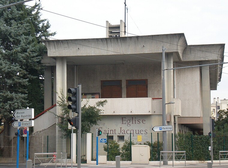
Photo: Vpe, Public domain.
Église Saint Jacques is a church, which is situated 1½ km northeast of Panier Jardin.
Places in the Area
Nearby places include Saint Jean de Védas and Antigone.
Saint Jean de Védas
Town

Photo: Fagairolles 34, CC BY-SA 4.0.
Saint-Jean-de-Védas is a commune in the Hérault department in the Occitanie region in southern France. Saint Jean de Védas is situated 3 km west of Panier Jardin.
Antigone
Neighborhood
 Antigone is a neighbourhood of Montpellier, France, east of the city centre. It is best known for its architectural design by Ricardo Bofill Taller de Arquitectura. Antigone is situated 3½ km northeast of Panier Jardin.
Lattes
Town

Photo: Alexander Baranov, CC BY 2.0.
Lattes is a commune in the Hérault département in the Occitanie region in southern France, located just on the outskirts of Montpellier. Lattes is situated 4 km southeast of Panier Jardin.
Panier Jardin
- Type: Greengrocer
- Categories: shop and food
- Location: Montpellier, Arrondissement of Montpellier, Hérault, Occitanie, France, Europe
- View on OpenStreetMap
Latitude
43.58353° or 43° 35′ 1″ northLongitude
3.85962° or 3° 51′ 35″ eastOpen location code
8FM5HVM5+CROpenStreetMap ID
node 13185576101OpenStreetMap feature
shop=greengrocer
This page is based on OpenStreetMap, Wikidata, and Wikimedia Commons.
We’d love your help improving our open data sources. Thank you for contributing.
Satellite Map
Discover Panier Jardin from above in high-definition satellite imagery.
Notable Places Nearby
Highlights include Halles Plaza and Aire de jeux des Grisettes.
Nearby Places
Explore places such as Rosette and Les Délices du Liban.
Hérault: Must-Visit Destinations
Delve into Béziers, Sète, Bouzigues, and Pézenas.
Curious Greengrocers to Discover
Uncover intriguing greengrocers from every corner of the globe.
About Mapcarta. Data © OpenStreetMap contributors and available under the Open Database License". Text is available under the CC BY-SA 4.0 license, except for photos, directions, and the map. Photo: Wolfgang Staudt, CC BY 2.0.