Der Zaunkönig
Der Zaunkönig is in Frankfurt, South Hesse, Hesse. Der Zaunkönig is situated nearby to the miniature golf course Minigolf Römerstadt, as well as near the grassland Verein für Deutsche Schäferhunde - OG Ffm.-Praunheim e.V..| Tap on a place to explore it |
Places of Interest Nearby
Highlights include Römerstadt and Jüdischer Friedhof Heddernheim (Frankfurt am Main).
Römerstadt
Metro station

Photo: Jivee Blau, CC BY-SA 3.0.
Römerstadt is a metro station, which is situated 440 metres northwest of Der Zaunkönig.
Jüdischer Friedhof Heddernheim (Frankfurt am Main)
Cemetery

Photo: Gerbil, CC BY-SA 3.0.
Jüdischer Friedhof Heddernheim (Frankfurt am Main) is a cemetery, which is situated 560 metres northwest of Der Zaunkönig.
St. Sebastiankirche
Church
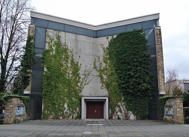
Photo: Gaki64, CC BY-SA 3.0.
St. Sebastiankirche is a church, which is situated 710 metres northwest of Der Zaunkönig.
Places in the Area
Nearby places include Frankfurt-Riedberg and City West.
Frankfurt-Riedberg
Suburb

Photo: Dontworry, CC BY-SA 3.0.
Frankfurt-Riedberg is a suburb, which is situated 3 km north of Der Zaunkönig.
City West
Neighborhood

Photo: Truktus, CC BY-SA 3.0.
City West is a neighborhood, which is situated 3½ km south of Der Zaunkönig.
Westend
Suburb

Photo: Wikimedia, CC BY-SA 3.0.
Westend-Nord and Westend-Süd are two city districts of Frankfurt am Main, Germany. The division into a northern and a southern part is mostly for administrative purposes as the Westend is generally considered an entity. Westend is situated 4 km south of Der Zaunkönig.
Der Zaunkönig
- Type: Sign
- Categories: information and tourism
- Location: Frankfurt, South Hesse, Hesse, Germany, Central Europe, Europe
- View on OpenStreetMap
Latitude
50.15026° or 50° 9′ 1″ northLongitude
8.64209° or 8° 38′ 32″ eastOpen location code
9F2C5J2R+4ROpenStreetMap ID
node 13187440217OpenStreetMap feature
tourism=information
This page is based on OpenStreetMap, Wikidata, and Wikimedia Commons.
We’d love your help improving our open data sources. Thank you for contributing.
Satellite Map
Discover Der Zaunkönig from above in high-definition satellite imagery.
Places with the Same Name
Discover other places named “Der Zaunkönig”.
Notable Places Nearby
Highlights include Minigolf Römerstadt and Verein für Deutsche Schäferhunde - OG Ffm.-Praunheim e.V..
Nearby Places
Explore places such as Geopfad Station 1 and Niddawiese.
South Hesse: Must-Visit Destinations
Delve into Darmstadt, Bensheim, Lorsch, and Heppenheim.
Curious Places to Discover
Uncover intriguing places from every corner of the globe.
About Mapcarta. Data © OpenStreetMap contributors and available under the Open Database License". Text is available under the CC BY-SA 4.0 license, except for photos, directions, and the map. Photo: Mylius, GFDL.