Castleton Convenient
Castleton Convenient is a convenience store in Staten Island, New York. Castleton Convenient is situated nearby to Saint Mary’s Episcopal Church, as well as near the church Rhema House of Prayer & Deliverance.| Tap on a place to explore it |
Places of Interest Nearby
Highlights include Calvary Presbyterian Church and Sailors’ Snug Harbor.
Calvary Presbyterian Church
Church

Photo: Roberthaber, CC BY-SA 3.0.
Calvary Presbyterian Church is a historic Presbyterian church complex at 909 Castleton Avenue in West New Brighton, Staten Island, New York. The complex consists of the Romanesque/Tudor Revival-style church building, parish house, manse, and a one car garage. Calvary Presbyterian Church is situated 1,200 feet west of Castleton Convenient.
Sailors’ Snug Harbor
Park

Photo: Dmadeo, CC BY-SA 4.0.
Sailors' Snug Harbor is a cultural center comprising more than two dozen architecturally significant buildings on the North Shore of Staten Island in New York City, New York, US. Sailors’ Snug Harbor is situated 3,100 feet northeast of Castleton Convenient.
Staten Island Museum
Museum

Photo: DavisTW, CC BY-SA 3.0.
Staten Island Museum is Staten Island’s oldest cultural institution, and the only remaining general interest museum in New York City. Founded in 1881 by fourteen of New York City’s first “environmental activists”, the Staten Island Museum houses artifacts and specimens from ancient to contemporary periods. Staten Island Museum is situated 3,900 feet northeast of Castleton Convenient.
Places in the Area
Nearby places include West New Brighton and New Brighton.
West New Brighton
Neighborhood
West New Brighton is a neighborhood of Staten Island, New York City, situated in the central area of North Shore. The neighborhood is bordered by New Brighton to the east, Port Richmond to the west, the waters of the Kill Van Kull to the north, and the communities of Sunnyside and Castleton Corners to the south.
New Brighton
Neighborhood
New Brighton is a neighborhood located on the North Shore of Staten Island in New York City. The neighborhood comprises an older industrial and residential harbor front area along the Kill Van Kull west of St. George.
Hamilton Park
Neighborhood
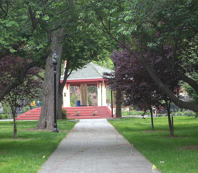
Photo: Jim.henderson, CC0.
Hamilton Park is a neighborhood in Historic Downtown Jersey City, Hudson County, in the U.S. state of New Jersey, centered on a park with the same name.
Castleton Convenient
- Type: Convenience store
- Categories: shop and food
- Location: Staten Island, New York, Mid-Atlantic, United States, North America
- View on OpenStreetMap
Latitude
40.63461° or 40° 38′ 5″ northLongitude
-74.1084° or 74° 6′ 30″ westOpen location code
87G7JVMR+RJOpenStreetMap ID
node 13191522458OpenStreetMap feature
shop=convenience
This page is based on OpenStreetMap, Wikidata, and Wikimedia Commons.
We’d love your help improving our open data sources. Thank you for contributing.
Satellite Map
Discover Castleton Convenient from above in high-definition satellite imagery.
Notable Places Nearby
Highlights include Saint Mary’s Episcopal Church and Rhema House of Prayer & Deliverance.
Nearby Places
Explore places such as Dunkin‘ and Castleton Avenue & Davis Avenue.
New York: Must-Visit Destinations
Delve into New York City, Buffalo, Manhattan, and West Side.
Curious Convenience Stores to Discover
Uncover intriguing convenience stores from every corner of the globe.
About Mapcarta. Data © OpenStreetMap contributors and available under the Open Database License". Text is available under the CC BY-SA 4.0 license, except for photos, directions, and the map. Photo: Jjtkk, Public domain.