Espai Municipal Sénior El Sud
Espai Municipal Sénior El Sud is a community center in Mislata Municipality, Valencia, Valencian Community. Espai Municipal Sénior El Sud is situated nearby to the library biblioteca Santa Cecilia, as well as near the school Col·legi d’Educació Infantil i Primària El Cid.| Tap on a place to explore it |
Places of Interest Nearby
Highlights include Col·legi d’Educació Infantil i Primària El Cid and Biblioteca Pública Municipal Mislata.
Col·legi d’Educació Infantil i Primària El Cid
School

Photo: 19Tarrestnom65, CC BY-SA 4.0.
Col·legi d’Educació Infantil i Primària El Cid is a school, which is situated 200 metres southwest of Espai Municipal Sénior El Sud.
Biblioteca Pública Municipal Mislata
Library
 Biblioteca Pública Municipal Mislata is a library, which is situated 400 metres northeast of Espai Municipal Sénior El Sud.
Mislata
Metro station
 Mislata is a metro station, which is situated 250 metres north of Espai Municipal Sénior El Sud.
Places in the Area
Nearby places include Mislata and La Luz (Valencia).
Mislata
Town
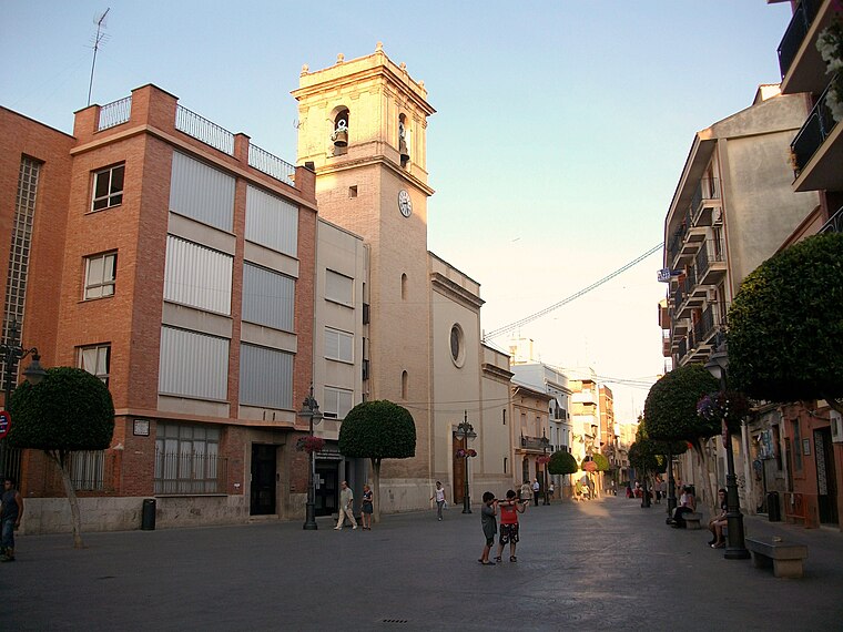
Photo: Joanbanjo, CC BY-SA 3.0.
Mislata is a city in the Valencian Community, Spain. It has borders with the city of Valencia and Quart de Poblet in the west and Xirivella in the south.


Espai Municipal Sénior El Sud
- Type: Community center
- Location: Mislata Municipality, Valencia, Valencian Community, Eastern Spain, Spain, Iberia, Europe
- View on OpenStreetMap
Latitude
39.4719° or 39° 28′ 19″ northLongitude
-0.41906° or 0° 25′ 9″ westOpen location code
8CFXFHCJ+Q9OpenStreetMap ID
node 13206753543OpenStreetMap feature
amenity=community_centre
This page is based on OpenStreetMap, Wikidata, and Wikimedia Commons.
We’d love your help improving our open data sources. Thank you for contributing.
Satellite Map
Discover Espai Municipal Sénior El Sud from above in high-definition satellite imagery.
In Other Languages
“Espai Municipal Sénior El Sud” goes by many names.
- Catalan: “Espai Municipal Sénior El Sud”
Notable Places Nearby
Highlights include biblioteca Santa Cecilia and Racó del Riu Millars.
Nearby Places
Explore places such as Avinguda del Sud - Espai municipal Sénior El Sud and Loterías y Apuestas del Estado.
Valencia: Must-Visit Destinations
Delve into Valencia, Sagunto, Gandía, and Xàtiva.
Curious Community Centers to Discover
Uncover intriguing community centers from every corner of the globe.
About Mapcarta. Data © OpenStreetMap contributors and available under the Open Database License". Text is available under the CC BY-SA 4.0 license, except for photos, directions, and the map. Photo: andruby, CC BY 2.0.