Rainbow Package
Rainbow Package is a liquor store in Fulton, Georgia which is located on Simpson Road Northwest. Rainbow Package is situated nearby to Mount Pleasant Primitive Baptist Church, as well as near Woodlawn Church.| Tap on a place to explore it |
Places of Interest Nearby
Highlights include Washington Park and Bankhead station.
Washington Park
Park
Washington Park is a historically black neighborhood in northwest Atlanta encompassing historic residential, commercial, and community landmark buildings.
Bankhead station
Metro station

Photo: Thomson200, CC0.
Bankhead is an elevated subway station in Atlanta, Georgia, the western terminus of the Green Line in the Metropolitan Atlanta Rapid Transit Authority rail system. Bankhead station is situated 3,300 feet north of Rainbow Package.
West Lake station
Metro station

Photo: DeKalb, CC BY-SA 3.0.
West Lake station is a metro station in Atlanta, Georgia, served by the Blue Line of the Metropolitan Atlanta Rapid Transit Authority rail system. The station is located between West Lake Avenue and Anderson Avenue in West Atlanta near the Westview Cemetery. West Lake station is situated 1 mile southwest of Rainbow Package.
Places in the Area
Nearby places include West Atlanta and Grove Park.
West Atlanta

Photo: Clinton Steeds, CC BY 2.0.
West Atlanta is the side of Atlanta that includes the neighborhoods Bankhead, Vine City, West End, Oakland City, Westview, and Riverside.
Grove Park
Neighborhood
Grove Park is a neighborhood in northwest Atlanta, Georgia, inside the perimeter and bounded by:…
English Avenue and Vine City
Neighborhood
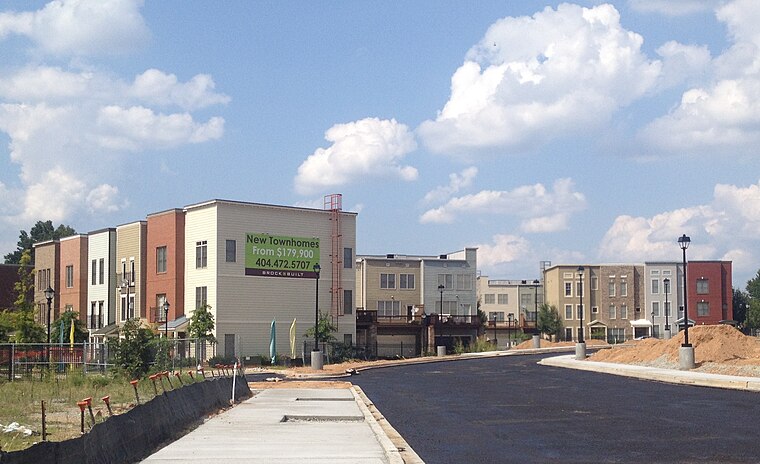
Photo: Keizers, CC BY-SA 3.0.
English Avenue and Vine City are two adjacent and closely linked neighborhoods of Atlanta, Georgia. Together the neighborhoods make up neighborhood planning unit L.
Rainbow Package
- Type: Liquor store
- Address: G and 1, 1385 Simpson Road Northwest
- Category: shop
- Location: Fulton, Georgia, South, United States, North America
- View on OpenStreetMap
Latitude
33.76383° or 33° 45′ 50″ northLongitude
-84.43312° or 84° 25′ 59″ westOpen location code
865QQH78+GQOpenStreetMap ID
node 13228178497OpenStreetMap feature
shop=alcohol
This page is based on OpenStreetMap, Wikidata, and Wikimedia Commons.
We’d love your help improving our open data sources. Thank you for contributing.
Satellite Map
Discover Rainbow Package from above in high-definition satellite imagery.
Notable Places Nearby
Highlights include Mount Pleasant Primitive Baptist Church and Woodlawn Church.
Nearby Places
Explore places such as West Side Siege Line and Clement School.
Georgia: Must-Visit Destinations
Delve into Atlanta, Savannah, Augusta, and Hartsfield–Jackson Atlanta International Airport.
Curious Liquor Stores to Discover
Uncover intriguing liquor stores from every corner of the globe.
About Mapcarta. Data © OpenStreetMap contributors and available under the Open Database License". Text is available under the CC BY-SA 4.0 license, except for photos, directions, and the map. Photo: Wikimedia, CC0.