Guanajibo Gardens
Guanajibo Gardens is a neighborhood in Guanajibo, Mayagüez. Guanajibo Gardens is situated nearby to the neighborhood Mayagüez Housing II, as well as near Ext. Sábalos Nuevos.| Tap on a place to explore it |
Places of Interest
Highlights include Isidoro García Stadium and Cementerio Municipal de Mayagüez.
Isidoro García Stadium
Stadium

Photo: Eljohnson15, CC BY-SA 3.0.
Estadio Isidoro García is a baseball stadium in Mayagüez, named after Isidoro "El Cholo" García, a local pitcher who threw the first ever no-hitter at a final series game in the Puerto Rico Baseball League. Isidoro García Stadium is situated 3 km north of Guanajibo Gardens.
Cementerio Municipal de Mayagüez
Cemetery

Photo: Eljohnson15, CC BY-SA 3.0.
The Cementerio Municipal de Mayagüez, also known as Cementerio Viejo, was constructed in 1876 in Mayaguez, Puerto Rico. It was designed by the municipal architect Félix Vidal d’Ors following the master plan for the city from 1804. Cementerio Municipal de Mayagüez is situated 3½ km northeast of Guanajibo Gardens.
Mayagüez Mall
Commercial area
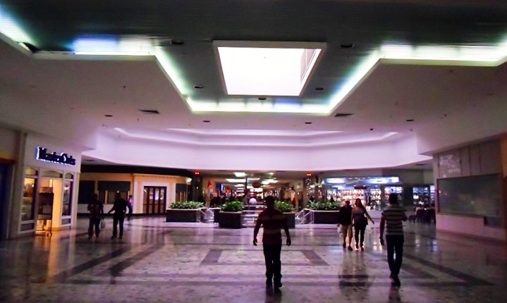
Photo: Madrican, CC BY-SA 3.0.
Mayagüez Mall is a shopping mall located in the municipalities of Mayagüez and Hormigueros. It is the third largest shopping center in Puerto Rico with a total of 1,050,000 square feet of retail space, and it is the main shopping center in western Puerto Rico.
Places in the Area
Nearby places include Hormigueros and Cabo Rojo.
Hormigueros

Photo: Jcarrillovii, Public domain.
Hormigueros is a town and one of the smallest municipalities of Puerto Rico, located on the island's southwestern coast in the Porta del Sol tourism region.
Cabo Rojo

Photo: Jerjes Medina Albino, CC BY-SA 3.0.
Cabo Rojo, named after the red-colored limestone cliffs on its coast, is a city and municipality of Puerto Rico located in the Porta del Sol tourism region. The city is famous for its pirate legends, its beaches, its nature and its lighthouse.
Guanajibo Gardens
- Type: Neighborhood
- Category: locality
- Location: Guanajibo, Mayagüez, Porta del Sol, Puerto Rico, Caribbean, North America
- View on OpenStreetMap
Latitude
18.16393° or 18° 9′ 50″ northLongitude
-67.15661° or 67° 9′ 24″ westOpen location code
77CJ5R7V+H9OpenStreetMap ID
node 13228828874OpenStreetMap feature
place=neighbourhood
This page is based on OpenStreetMap, Wikidata, and Wikimedia Commons.
We’d love your help improving our open data sources. Thank you for contributing.
Satellite Map
Discover Guanajibo Gardens from above in high-definition satellite imagery.
Localities in the Area
Explore places such as Guanajibo and Mayagüez Housing II.
Notable Places Nearby
Highlights include Mech-Tech College and Consulado de Hungría.
Porta del Sol: Must-Visit Destinations
Delve into Aguadilla, Rincón, Aguada, and Cabo Rojo.
Curious Neighborhoods to Discover
Uncover intriguing neighborhoods from every corner of the globe.
About Mapcarta. Data © OpenStreetMap contributors and available under the Open Database License". Text is available under the CC BY-SA 4.0 license, except for photos, directions, and the map. Photo: Wikimedia, CC0.