École TCMA
École TCMA is in Geneva, Western Switzerland. École TCMA is situated nearby to the government office Mission permanente d’Albanie, as well as near the dōjō Martial Arts Academy Geneva.| Tap on a place to explore it |
Places of Interest Nearby
Highlights include Genève-Cornavin Railway Station and Jet d’Eau.
Genève-Cornavin Railway Station
Railway station

Photo: mpd01605, CC BY-SA 2.0.
Geneva railway station, also known as Geneva Cornavin railway station, is Geneva's main train station, located in the centre of the city. The immediate area surrounding it is known as Cornavin; both names can be used interchangeably. Genève-Cornavin Railway Station is situated 550 metres southwest of École TCMA.
Jet d’Eau
Fountain

Photo: Graymo86, CC BY-SA 4.0.
The Jet d'Eau is a large fountain in Geneva, Switzerland and is one of the city's most famous landmarks, being featured on the city's official tourism web site. Jet d’Eau is situated 1 km southeast of École TCMA.
Le Refuge Genève
Community center
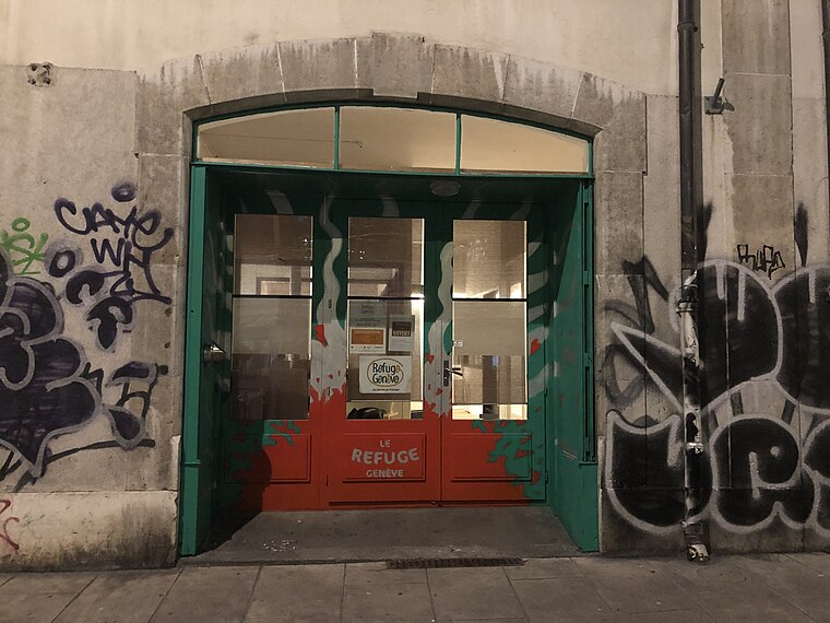
Photo: DragonAPIL, CC BY-SA 4.0.
Le Refuge Genève is a community center, which is situated 210 metres south of École TCMA.
Places in the Area
Nearby places include Les Pâquis and Sécheron.


Champel
Suburb

Photo: Alexey M., CC BY-SA 4.0.
Champel is a neighborhood in the city of Geneva, Switzerland. Champel is widely considered a posh, high-class neighbourhood due to its numerous parks and natural spaces, very luxurious apartments and proximity to the city center.
École TCMA
- Type: Health care
- Location: Geneva, Geneva, Canton of Geneva, Western Switzerland, Switzerland, Central Europe, Europe
- View on OpenStreetMap
Latitude
46.21388° or 46° 12′ 50″ northLongitude
6.14742° or 6° 8′ 51″ eastOpen location code
8FR8647W+HXOpenStreetMap ID
node 13235351438OpenStreetMap feature
healthcare=alternative
This page is based on OpenStreetMap, Wikidata, and Wikimedia Commons.
We’d love your help improving our open data sources. Thank you for contributing.
Satellite Map
Discover École TCMA from above in high-definition satellite imagery.
Notable Places Nearby
Highlights include Mission permanente d’Albanie and 12a.
Nearby Places
Explore places such as Centre de Shiatsu and Mercato Roza Coiffure.
Western Switzerland: Must-Visit Destinations
Delve into Lausanne, Lake Geneva, Fribourg, and Neuchatel.
Curious Places to Discover
Uncover intriguing places from every corner of the globe.
About Mapcarta. Data © OpenStreetMap contributors and available under the Open Database License". Text is available under the CC BY-SA 4.0 license, except for photos, directions, and the map. Photo: gumuz, CC BY 2.0.