West End
West End is a neighborhood in Lyons Township, Cook, Illinois. West End is situated nearby to the neighborhood East Side, as well as near Field Park.| Tap on a place to explore it |
Places of Interest
Highlights include Stone Avenue/LaGrange station and LaGrange Road station.
Stone Avenue/LaGrange station
Railway station

Photo: Gfoley4, CC BY-SA 3.0.
Stone Avenue is a station on Metra's BNSF Line in La Grange, Illinois. The station is 14.1 miles from Union Station, the east end of the line. In Metra's zone-based fare system, Stone Avenue is in zone 3.
LaGrange Road station
Railway station

Photo: Lpangelrob, CC BY-SA 2.5.
LaGrange Road station, or La Grange station, is a train station in La Grange, Illinois. It is served by Amtrak's Illinois Zephyr and Carl Sandburg and Metra's BNSF Line.
Lyons Township High School
School

Photo: Dyb405225, CC BY-SA 4.0.
Lyons Township High School is a public high school in Western Springs, Illinois, and La Grange, Illinois. Lyons Township is a coeducational high school and serves grades 9–12 for Lyons Township High School District 204.
Places in the Area
Nearby places include La Grange and Western Springs.
La Grange

Photo: Lpangelrob, CC BY-SA 2.5.
La Grange is a village in Cook County, Illinois, United States. It is a suburb of Chicago. The population was 16,321 at the 2020 census.
Western Springs
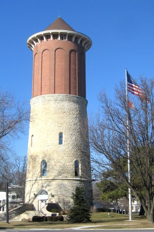
Photo: Wikimedia, CC BY-SA 3.0.
Western Springs is a village in Cook County, Illinois, United States, and a suburb of Chicago. As of the 2020 census, the village had a total population of 13,629.
La Grange Park
Village

Photo: David Wilson, CC BY 2.0.
La Grange Park is a village in Cook County, Illinois, United States, about 13 miles west-southwest of Chicago. According to the 2020 census, the population was 13,475.
West End
- Type: Neighborhood
- Category: locality
- Location: Lyons Township, Cook, Illinois, Midwest, United States, North America
- View on OpenStreetMap
Latitude
41.81416° or 41° 48′ 51″ northLongitude
-87.87759° or 87° 52′ 39″ westOpen location code
86HJR47C+MXOpenStreetMap ID
node 13235636577OpenStreetMap feature
place=neighbourhood
This page is based on OpenStreetMap, Wikidata, and Wikimedia Commons.
We’d love your help improving our open data sources. Thank you for contributing.
Satellite Map
Discover West End from above in high-definition satellite imagery.
Places with the Same Name
Discover other places named “West End”.
Localities in the Area
Explore places such as East Side and Field Park.
Notable Places Nearby
Highlights include Stone Avenue Metra Station and Fine Art Gallery.
Illinois: Must-Visit Destinations
Delve into Chicago, Springfield, Rockford, and Loop.
Curious Neighborhoods to Discover
Uncover intriguing neighborhoods from every corner of the globe.
About Mapcarta. Data © OpenStreetMap contributors and available under the Open Database License". Text is available under the CC BY-SA 4.0 license, except for photos, directions, and the map. Photo: Rastapopulous, CC BY-SA 3.0.