Anhängerverleih-FIX
Anhängerverleih-FIX is a shop in Stendal, Saxony-Anhalt which is located on Von-Ardenne-Straße. Anhängerverleih-FIX is situated nearby to the government office Amt für Landwirtschaft, Flurneuordnung und Forsten Altmark Hauptsitz Stendal, as well as near the sports venue Sportplatz Osterburger Straße.| Tap on a place to explore it |
- Email: anhaenger-fix@web.de
- Type: Shop
- Address: Von-Ardenne-Straße 9-11, Stendal, 39576
Places of Interest Nearby
Highlights include Stendal-Borstel airfield and Uenglinger Tor.
Stendal-Borstel airfield
Aerodrome

Photo: Carsten Steger, CC BY-SA 4.0.
Stendal-Borstel airfield is an aerodrome.
Uenglinger Tor

Photo: Björn Gäde, CC BY-SA 3.0.
Uenglinger Tor is situated 2 km south of Anhängerverleih-FIX.
Jüdischer Friedhof Stendal
Cemetery

Photo: RentWerner, CC BY-SA 4.0.
Jüdischer Friedhof Stendal is a cemetery, which is situated 1¼ km south of Anhängerverleih-FIX.
Places in the Area
Nearby places include Uenglingen and Schernikau.
Uenglingen
Village
Uenglingen is a village and a former municipality in the district of Stendal, in Saxony-Anhalt, Germany. Since 1 January 2010, it is part of the town Stendal. Uenglingen is situated 2½ km west of Anhängerverleih-FIX.
Schernikau
Village

Photo: Björn Gäde, CC BY-SA 3.0.
Schernikau is a village and a former municipality in the district of Stendal, in Saxony-Anhalt, Germany. Since 1 January 2010, it is part of the town Bismark. Schernikau is situated 5 km west of Anhängerverleih-FIX.
Hassel
Village
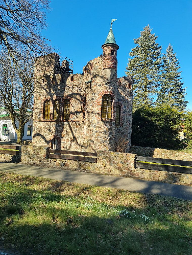
Photo: Ortssucher, CC BY-SA 4.0.
Hassel is a municipality in the district of Stendal, in Saxony-Anhalt, Germany. In July 2009 it absorbed the former municipality Sanne. Hassel is situated 6 km east of Anhängerverleih-FIX.
Anhängerverleih-FIX
- Location: Stendal, Stendal, Saxony-Anhalt, Germany, Central Europe, Europe
- View on OpenStreetMap
Latitude
52.62528° or 52° 37′ 31″ northLongitude
11.84512° or 11° 50′ 42″ eastOperator
Alexander FixOpen location code
9F4HJRGW+42OpenStreetMap ID
node 13276182835OpenStreetMap feature
shop=rental
This page is based on OpenStreetMap, Wikidata, and Wikimedia Commons.
We’d love your help improving our open data sources. Thank you for contributing.
Satellite Map
Discover Anhängerverleih-FIX from above in high-definition satellite imagery.
Notable Places Nearby
Highlights include Amt für Landwirtschaft, Flurneuordnung und Forsten Altmark Hauptsitz Stendal and Sportplatz Osterburger Straße.
Nearby Places
Explore places such as waschBOX.de and speedshop.
Saxony-Anhalt: Must-Visit Destinations
Delve into Magdeburg, Halle, Wittenberg, and Quedlinburg.
Curious Shops to Discover
Uncover intriguing shops from every corner of the globe.
About Mapcarta. Data © OpenStreetMap contributors and available under the Open Database License". Text is available under the CC BY-SA 4.0 license, except for photos, directions, and the map. Photo: Björn Gäde, CC BY-SA 3.0.