Aranyhegy Príma
Aranyhegy Príma is a supermarket in Pest County, Central Hungary which is located on Mészkő utca. Aranyhegy Príma is situated nearby to the outdoor gym Mészkő Fitness park, as well as near the nature reserve Mocsáros TT.| Tap on a place to explore it |
- Opening hours:
Monday—Friday: 6:30 AM—8:00 PM
Saturday: 7:00 AM—6:00 PM
Sunday: 7:00 AM—3:00 PM - Type: Supermarket
- Also known as: “Príma”
- Address: Mészkő utca 2-4, 22731, Budapest, 1031
Places of Interest Nearby
Highlights include Óbuda railway station and Róka-hegyi Kristály Cave.
Óbuda railway station
Railway station

Photo: Rakás, CC BY-SA 4.0.
Óbuda railway station is situated 1¼ km south of Aranyhegy Príma.
Róka-hegyi Kristály Cave
Cave

Photo: Szenti Tamás, CC BY-SA 4.0.
Róka-hegyi Kristály Cave is situated 1¼ km north of Aranyhegy Príma.
Róka-hegy Cave
Cave

Photo: Szenti Tamás, CC BY-SA 4.0.
Róka-hegy Cave is situated 1½ km north of Aranyhegy Príma.
Places in the Area
Nearby places include Aquincum and Római Part.
Aquincum

Photo: KKriszti, CC BY-SA 3.0.
Aquincum is the former Roman city which stood in Budapest. This article describes the northern part of District III.
Római Part
Neighborhood
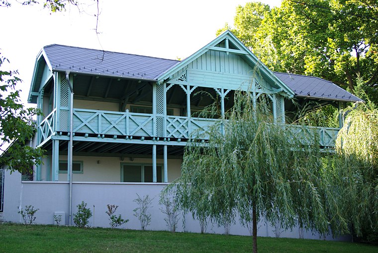
Photo: Wikimedia, CC BY-SA 2.5 hu.
The Római Part is a riverside beach in the capital of Hungary, Budapest. It is located at an approximately 5 kilometers long stretch along the Danube riverside of the city's North-Western 3rd district.
Üröm
Village

Photo: Civertan, CC BY-SA 3.0.
Üröm is a village in Pest county, Hungary. In 2008, the population was 6,790. Üröm is situated 2½ km northwest of Aranyhegy Príma.
Aranyhegy Príma
- Categories: shop and food
- Location: Pest County, Central Hungary, Hungary, Central Europe, Europe
- View on OpenStreetMap
Latitude
47.5795° or 47° 34′ 46″ northLongitude
19.03312° or 19° 1′ 59″ eastInception
November 6th, 2025Brand
CBAOperator
Vörösvár Kft.Open location code
8FVXH2HM+Q6OpenStreetMap ID
node 13286827764OpenStreetMap feature
shop=supermarket
This page is based on OpenStreetMap, Wikidata, and Wikimedia Commons.
We’d love your help improving our open data sources. Thank you for contributing.
Satellite Map
Discover Aranyhegy Príma from above in high-definition satellite imagery.
Notable Places Nearby
Highlights include Mészkő Fitness park and Mocsáros TT.
Nearby Places
Explore places such as Rossmann and Flórián Gyógyszertár.
Pest County: Must-Visit Destinations
Delve into Érd, Cegléd, Gödöllő, and Budaörs.
Curious Supermarkets to Discover
Uncover intriguing supermarkets from every corner of the globe.
About Mapcarta. Data © OpenStreetMap contributors and available under the Open Database License". Text is available under the CC BY-SA 4.0 license, except for photos, directions, and the map. Photo: ucsendre, CC BY-SA 3.0.