Am Himmelreich
Am Himmelreich is in Suhl, Thuringia. Am Himmelreich is situated nearby to the school Paul-Greifzu-Schule, as well as near Europäische Wildkatze.| Tap on a place to explore it |
Places of Interest Nearby
Highlights include Ringberg and Ringberghaus.

Ringberghaus
Hotel

Photo: Derbrauni, CC BY-SA 4.0.
The Ringberghaus, also often called Ringberghotel is a hotel east of the German city Suhl. In the 1970s, it was one of the most controversially discussed new buildings in the Suhl area. Ringberghaus is situated 540 metres east of Am Himmelreich.
Zentralklinikum Suhl
Hospital

Photo: Störfix, CC BY-SA 3.0 de.
Zentralklinikum Suhl is a hospital, which is situated 1½ km south of Am Himmelreich.
Places in the Area
Nearby places include Lauter and Goldlauter.

Goldlauter
Village

Photo: Hejkal, CC BY-SA 3.0 de.
Goldlauter is a village, which is situated 2½ km northeast of Am Himmelreich.
Heinrichs
Suburb
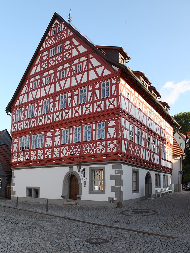
Photo: Störfix, CC BY-SA 3.0 de.
Heinrichs is a suburb, which is situated 4½ km west of Am Himmelreich.
Am Himmelreich
- Type: Sign
- Categories: information and tourism
- Location: Suhl, Thuringia, Germany, Central Europe, Europe
- View on OpenStreetMap
Latitude
50.6151° or 50° 36′ 54″ northLongitude
10.71578° or 10° 42′ 57″ eastElevation
586 metres (1,923 feet)Open location code
9F2GJP88+28OpenStreetMap ID
node 1329613419OpenStreetMap feature
tourism=information
This page is based on OpenStreetMap, Wikidata, and Wikimedia Commons.
We’d love your help improving our open data sources. Thank you for contributing.
Satellite Map
Discover Am Himmelreich from above in high-definition satellite imagery.
Places with the Same Name
Discover other places named “Am Himmelreich”.
Notable Places Nearby
Highlights include Paul-Greifzu-Schule and Europäische Wildkatze.
Nearby Places
Explore places such as Suhl, Am Himmelreich and Dombergschule.
Curious Places to Discover
Uncover intriguing places from every corner of the globe.
About Mapcarta. Data © OpenStreetMap contributors and available under the Open Database License". Text is available under the CC BY-SA 4.0 license, except for photos, directions, and the map. Photo: A.Savin, FAL.