minibus to Qena at 05:00 40EGP
minibus to Qena at 05:00 40EGP is a bus stop in Luxor Governorate, Egypt. minibus to Qena at 05:00 40EGP is situated nearby to the park Hotel Sheherazade, as well as near the museum Nut Art Store & Kaffee.| Tap on a place to explore it |
Places of Interest Nearby
Highlights include Luxor Temple and Sidi Abou Al Hagag Al Aqsry Mosque.
Luxor Temple

Photo: Ad Meskens, CC BY-SA 3.0.
The Luxor Temple is a large Ancient Egyptian temple complex located on the east bank of the Nile River in the city today known as Luxor and was constructed approximately 1400 BCE. Luxor Temple is situated 1 km southeast of minibus to Qena at 05:00 40EGP.
Sidi Abou Al Hagag Al Aqsry Mosque
Mosque
 The Abu Haggag Mosque is a mosque in Luxor, in the Luxor Governorate of Egypt. The mosque contains the tomb of Sheikh Yusuf Abu al-Haggag, after whom the mosque is named. Sidi Abou Al Hagag Al Aqsry Mosque is situated 1 km southeast of minibus to Qena at 05:00 40EGP.
Avenue of Sphinxes

Photo: Wikimedia, CC BY-SA 4.0.
Avenue of Sphinxes or The King's Festivities Road, also known as Rams Road is a 2.7 km long avenue which connects Karnak Temple with Luxor Temple having been uncovered in the ancient city of Thebes, with sphinxes and ram-headed statues lined up on both flanks. Avenue of Sphinxes is situated 1½ km east of minibus to Qena at 05:00 40EGP.
Places in the Area
Nearby places include Luxor and East Bank.
Luxor

Photo: Blalonde, Public domain.
Luxor is a city in Upper Egypt. Luxor had a population of 284,952 in 2023, with an area of 43.0 km2 and is the capital of the Luxor Governorate. Nicknamed the City of a Hundred Gates or the City of the Sun, formerly known as Thebes.
East Bank

Photo: Belmahdy, CC BY-SA 4.0.
The East Bank of Luxor is the central part of Luxor township, centred on the twin foci of the Temple of Luxor and the Temple of Karnak.
El-Assasif
Village
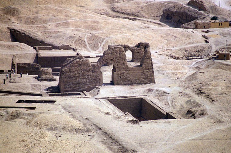
Photo: RolandUnger, CC BY-SA 3.0.
El-Assasif is a necropolis near Luxor on the West Bank at Thebes, Egypt, Upper Egypt. It is located in the dry bay that leads up to Deir el-Bahari and south of the necropolis of Dra' Abu el-Naga'. El-Assasif is situated 3½ km northwest of minibus to Qena at 05:00 40EGP.
minibus to Qena at 05:00 40EGP
- Type: Bus stop
- Category: transportation
- Location: Luxor Governorate, Egypt, North Africa, Africa
- View on OpenStreetMap
Latitude
25.7057° or 25° 42′ 21″ northLongitude
32.63402° or 32° 38′ 3″ eastOpen location code
7GQJPJ4M+7JOpenStreetMap ID
node 13308654801OpenStreetMap feature
highway=bus_stop
This page is based on OpenStreetMap, Wikidata, and Wikimedia Commons.
We’d love your help improving our open data sources. Thank you for contributing.
Satellite Map
Discover minibus to Qena at 05:00 40EGP from above in high-definition satellite imagery.
Notable Places Nearby
Highlights include Hotel Sheherazade and Nut Art Store & Kaffee.
Nearby Places
Explore places such as Local street food and Mini market.
Egypt: Must-Visit Destinations
Delve into Cairo, Alexandria, Luxor, and Giza.
Curious Bus Stops to Discover
Uncover intriguing bus stops from every corner of the globe.
About Mapcarta. Data © OpenStreetMap contributors and available under the Open Database License". Text is available under the CC BY-SA 4.0 license, except for photos, directions, and the map. Photo: Wikimedia, CC0.