Castelli i Via Murada
Castelli i Via Murada is in Guardamar del Segura, Alicante, Valencian Community. Castelli i Via Murada is situated nearby to Guardamar Castle, as well as near the reservoir Depósito de agua potable.| Tap on a place to explore it |
Places of Interest Nearby
Highlights include Guardamar Castle and Saint James the apostle parish church.

Saint James the apostle parish church
Church

Photo: Joanbanjo, CC BY-SA 4.0.
Saint James the apostle parish church is situated 280 metres southeast of Castelli i Via Murada.
Phoenician port city of la Fonteta
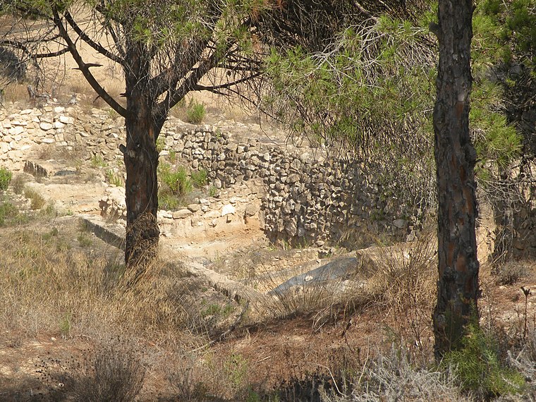
Photo: Danielml, Public domain.
La Fonteta is an ancient Phoenician port city that was located in what is now the town of Guardamar del Segura, Alicante, Spain. La Fonteta was a Phoenician port situated on the right bank of the mouth of the Segura River that existed from the 8th century… Phoenician port city of la Fonteta is situated 1¼ km northeast of Castelli i Via Murada.
Places in the Area
Nearby places include Guardamar del Segura and Rojales.
Guardamar del Segura
Town
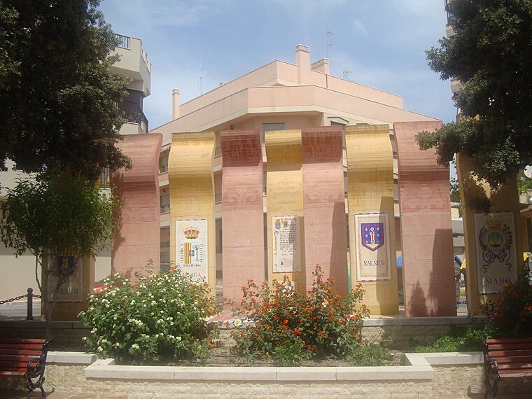
Photo: Toniher, CC BY-SA 3.0.
Guardamar del Segura, or briefly Guardamar, is a municipality of the province of Alicante located at the mouth of the river Segura in southern Valencia, Spain.
Rojales
Town

Photo: Wikimedia, Public domain.
Rojales is a village in the province of Alicante and autonomous community of Valencia, Spain. The municipality covers an area of 27.6 square kilometres and as of 2011 had a population of 21,583 people. Rojales is situated 6 km west of Castelli i Via Murada.
San Fulgencio
Village

Photo: 19Tarrestnom65, CC BY-SA 4.0.
San Fulgencio is a village in the province of Alicante and autonomous community of Valencia, Spain. The municipality covers an area of 19.75 square kilometres and at the 2011 Census had a population of 9,572, of whom 77% were of foreign origin; the latest official estimate was 7,855. San Fulgencio is situated 6 km northwest of Castelli i Via Murada.
Castelli i Via Murada
- Type: Sign
- Categories: information and tourism
- Location: Guardamar del Segura, Alicante, Valencian Community, Eastern Spain, Spain, Iberia, Europe
- View on OpenStreetMap
Latitude
38.09117° or 38° 5′ 28″ northLongitude
-0.65781° or 0° 39′ 28″ westOpen location code
8CCX38RR+FVOpenStreetMap ID
node 13316594384OpenStreetMap feature
tourism=information
This page is based on OpenStreetMap, Wikidata, and Wikimedia Commons.
We’d love your help improving our open data sources. Thank you for contributing.
Satellite Map
Discover Castelli i Via Murada from above in high-definition satellite imagery.
Notable Places Nearby
Highlights include Depósito de agua potable and Plaça del Rosari.
Nearby Places
Explore places such as El Castell and Murales medievals.
Alicante: Must-Visit Destinations
Delve into Alicante, Elche, Benidorm, and Torrevieja.
Curious Places to Discover
Uncover intriguing places from every corner of the globe.
About Mapcarta. Data © OpenStreetMap contributors and available under the Open Database License". Text is available under the CC BY-SA 4.0 license, except for photos, directions, and the map. Photo: Poco a poco, CC BY 3.0.