Cafe Thunerhof
Cafe Thunerhof is a café in Thun, Canton of Bern which is located on Hofstettenstrasse. Cafe Thunerhof is situated nearby to the public building Former Hotel Thunerhof, as well as near Art Museum Thun.| Tap on a place to explore it |
Places of Interest Nearby
Highlights include Former Hotel Thunerhof and Art Museum Thun.
Former Hotel Thunerhof
Public building

Photo: Gidoca, CC BY-SA 3.0.
Former Hotel Thunerhof is a public building.
Thun railway station
Railway station

Photo: DidiWeidmann, CC BY-SA 3.0.
Thun is a railway station in the town of Thun, in the Swiss canton of Bern. At the station, the Swiss Federal Railways owned Bern to Thun main line makes a junction with the other lines, all owned by the BLS AG. Thun railway station is situated 340 metres west of Cafe Thunerhof.
Places in the Area
Nearby places include Schwendibach and Steffisburg.
Schwendibach
Village
Schwendibach is a former municipality in the administrative district of Thun in the canton of Bern in Switzerland. On 1 January 2020 the former municipality of Schwendibach merged into the municipality of Steffisburg.
Steffisburg
Town
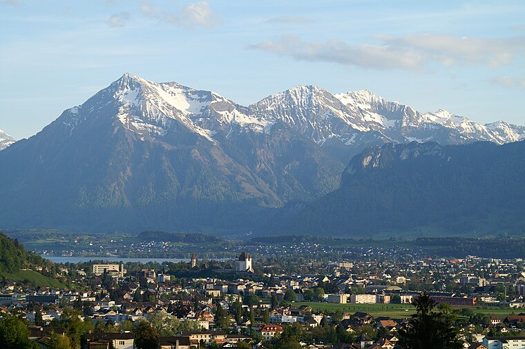
Photo: Clark park, Public domain.
Steffisburg is a municipality in the administrative district of Thun in the canton of Bern in Switzerland. On 1 January 2020 the former municipality of Schwendibach merged into the municipality of Steffisburg.
Hilterfingen
Village

Photo: DidiWeidmann, CC BY-SA 3.0.
Hilterfingen is a municipality in the administrative district of Thun in the canton of Bern in Switzerland. Hilterfingen is situated 3 km southeast of Cafe Thunerhof.
Cafe Thunerhof
- Type: Café
- Address: Hofstettenstrasse 14, Thun, 3600
- Location: Thun, Thun, Canton of Bern, Bernese Highlands, Switzerland, Central Europe, Europe
- View on OpenStreetMap
Latitude
46.75599° or 46° 45′ 22″ northLongitude
7.63376° or 7° 38′ 2″ eastOpen location code
8FR9QJ4M+9GOpenStreetMap ID
node 13326006966OpenStreetMap feature
amenity=cafe
This page is based on OpenStreetMap, Wikidata, and Wikimedia Commons.
We’d love your help improving our open data sources. Thank you for contributing.
Satellite Map
Discover Cafe Thunerhof from above in high-definition satellite imagery.
Notable Places Nearby
Highlights include Spielplatz Thunerhof and Scherzligschleuse.
Nearby Places
Explore places such as Thun, Thunerhof and Modified social bench NY #13.
Bernese Highlands: Must-Visit Destinations
Delve into Interlaken, Lauterbrunnen, Grindelwald, and Gstaad.
Curious Cafés to Discover
Uncover intriguing cafés from every corner of the globe.
About Mapcarta. Data © OpenStreetMap contributors and available under the Open Database License". Text is available under the CC BY-SA 4.0 license, except for photos, directions, and the map. Photo: Simisa, CC BY-SA 3.0.