Xirivella - Centre Cívic
Xirivella - Centre Cívic is a monitoring station in Xirivella, Valencia, Valencian Community. Xirivella - Centre Cívic is situated nearby to the park Parc d’Ernest Lluch, as well as near the church Església de Sant Vicent Ferrer.| Tap on a place to explore it |
Places of Interest Nearby
Highlights include Xirivella-Alqueries railway station and Church or Our Lady of Good Health.
Xirivella-Alqueries railway station
Railway station

Photo: Coentor, CC BY-SA 3.0.
Xirivella-Alqueries railway station is situated 410 metres south of Xirivella - Centre Cívic.
Church or Our Lady of Good Health
Church

Photo: Qoan, CC BY-SA 3.0.
Church or Our Lady of Good Health is situated 720 metres east of Xirivella - Centre Cívic.
Chapel of Our Lady of Good Health
Church

Photo: Qoan, CC BY-SA 3.0.
Chapel of Our Lady of Good Health is a church, which is situated 620 metres east of Xirivella - Centre Cívic.
Places in the Area
Nearby places include Xirivella and Mislata.
Xirivella
Town

Photo: Qoan, CC BY-SA 3.0.
Xirivella is a municipality in the Valencian Community, Spain. It borders the city of Valencia, Alaquàs, Picanya and Mislata. The municipality is divided by the V-30 motorway and the river Turia, with the La Luz district on the eastern part of the river.
Mislata
Town
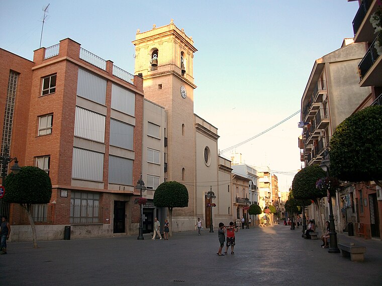
Photo: Joanbanjo, CC BY-SA 3.0.
Mislata is a city in the Valencian Community, Spain. It has borders with the city of Valencia and Quart de Poblet in the west and Xirivella in the south.

Xirivella - Centre Cívic
- Type: Monitoring station
- Location: Xirivella, Valencia, Valencian Community, Eastern Spain, Spain, Iberia, Europe
- View on OpenStreetMap
Latitude
39.46605° or 39° 27′ 58″ northLongitude
-0.43367° or 0° 26′ 1″ westOpen location code
8CFXFH88+CGOpenStreetMap ID
node 13336792984OpenStreetMap feature
man_made=monitoring_station
This page is based on OpenStreetMap, Wikidata, and Wikimedia Commons.
We’d love your help improving our open data sources. Thank you for contributing.
Satellite Map
Discover Xirivella - Centre Cívic from above in high-definition satellite imagery.
Notable Places Nearby
Highlights include Parc d’Ernest Lluch and Església de Sant Vicent Ferrer.
Nearby Places
Explore places such as Centre Cívic i Biblioteca Ernest Lluch and Centre Municipal d’Ocupació i Formació.
Valencia: Must-Visit Destinations
Delve into Valencia, Sagunto, Gandía, and Xàtiva.
Curious Monitoring Stations to Discover
Uncover intriguing monitoring stations from every corner of the globe.
About Mapcarta. Data © OpenStreetMap contributors and available under the Open Database License". Text is available under the CC BY-SA 4.0 license, except for photos, directions, and the map. Photo: andruby, CC BY 2.0.