Altzaga Ikastola
Altzaga Ikastola is a bus stop in Erandio, Biscay, Basque Country. Altzaga Ikastola is situated nearby to the pitch Sala de Armas Salvatore Fabris, as well as near the cemetery Altzagako hilerria.| Tap on a place to explore it |
Photo: Josi, CC BY-SA 4.0.
Places of Interest Nearby
Highlights include Erandio and Estadio de Lasesarre.
Erandio
Metro station
 Erandio is a station on line 1 of the Bilbao metro. It is located in the neighborhood of Altzaga, in the municipality of Erandio. The station opened as part of the metro on 11 November 1995. Erandio is situated 640 metres northwest of Altzaga Ikastola.
Estadio de Lasesarre
Stadium
 Lasesarre is a stadium in Barakaldo, Spain. It is currently used for football matches and is the home stadium of Barakaldo CF. The stadium holds 7,960 spectators. Estadio de Lasesarre is situated 1¼ km west of Altzaga Ikastola.
Desierto-Baracaldo
Railway station
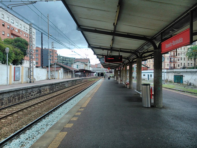
Photo: Laukatu, CC BY-SA 3.0.
Desierto-Baracaldo is a railway station, which is situated 1 km west of Altzaga Ikastola.
Places in the Area
Nearby places include Lutxana-Enekuri and Erandio.

Erandio
Town
 Erandio is a town and municipality located in the province of Biscay, in the autonomous community of Basque Country, northern Spain.

Altzaga Ikastola
- Type: Bus stop
- Category: transportation
- Location: Erandio, Biscay, Basque Country, Northern Spain, Spain, Iberia, Europe
- View on OpenStreetMap
Latitude
43.29868° or 43° 17′ 55″ northLongitude
-2.97117° or 2° 58′ 16″ westOpen location code
8CMV72XH+FGOpenStreetMap ID
node 13343595302OpenStreetMap feature
highway=bus_stopOpenStreetMap feature
public_transport=platformWikidata ID
Q72594853
This page is based on OpenStreetMap, Wikidata, and Wikimedia Commons.
We’d love your help improving our open data sources. Thank you for contributing.
Satellite Map
Discover Altzaga Ikastola from above in high-definition satellite imagery.
In Other Languages
From Basque to Spanish—“Altzaga Ikastola” goes by many names.
- Basque: “Altzaga Ikastola (202)”
- Spanish: “Altzaga Ikastola (202)”
Places with the Same Name
Discover other places named “Altzaga Ikastola”.
Notable Places Nearby
Highlights include Sala de Armas Salvatore Fabris and Altzagako hilerria.
Nearby Places
Explore places such as Instituto de Educación Secundaria Erandio Bigarren Hezkuntzako Institutua and Altzaga ikastola.
Basque Country: Must-Visit Destinations
Delve into Bilbao, San Sebastián, Vitoria-Gasteiz, and Guernica.
Curious Bus Stops to Discover
Uncover intriguing bus stops from every corner of the globe.
About Mapcarta. Data © OpenStreetMap contributors and available under the Open Database License". Text is available under the CC BY-SA 4.0 license, except for photos, directions, and the map. Photo: Josi, CC BY-SA 4.0.