Kastensiek
Kastensiek is a peak in Lower Saxony, Germany and has an elevation of 196 metres. Kastensiek is situated nearby to the hamlet Völkerhausen, as well as near Voremberg.| Tap on a place to explore it |
Places of Interest
Highlights include Protestant church and Obensburg.


Places in the Area
Nearby places include Emmerthal and Börry.
Emmerthal
Village
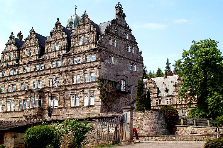
Photo: Bernd Schwabe in Hannover, CC BY-SA 3.0.
Emmerthal is a municipality in the Hameln-Pyrmont district, in Lower Saxony, Germany. It is situated on the river Weser, approximatively 6 km south of Hameln.


Kastensiek
- Type: Peak with an elevation of 196 metres
- Category: landform
- Location: Lower Saxony, Germany, Central Europe, Europe
- View on OpenStreetMap
Latitude
52.0702° or 52° 4′ 13″ northLongitude
9.4665° or 9° 27′ 59″ eastElevation
196 metres (643 feet)Open location code
9F4F3FC8+3HOpenStreetMap ID
node 13362398835OpenStreetMap feature
natural=peak
This page is based on OpenStreetMap, Wikidata, and Wikimedia Commons.
We’d love your help improving our open data sources. Thank you for contributing.
Satellite Map
Discover Kastensiek from above in high-definition satellite imagery.
Places with the Same Name
Discover other places named “Kastensiek”.
Localities in the Area
Explore places such as Völkerhausen and Voremberg.
Notable Places Nearby
Highlights include Katzenberg and Hasselburg.
Lower Saxony: Must-Visit Destinations
Delve into Hanover, Göttingen, Brunswick, and Wolfsburg.
Curious Peaks to Discover
Uncover intriguing peaks from every corner of the globe.
About Mapcarta. Data © OpenStreetMap contributors and available under the Open Database License". Text is available under the CC BY-SA 4.0 license, except for photos, directions, and the map. Photo: Danapit, CC BY-SA 3.0.