Salzofen cave
Salzofen cave is an archaeological site in Styria, Austria. It is located in the municipality of Grundlsee at an altitude of approximately 2,000 m, about sixty meters below the summit.| Tap on a place to explore it |
- Type: Cave
- Description: cave and archaeological site in the Totes Gebirge in Styria
- Wheelchair access: no
Places of Interest Nearby
Highlights include Salzofen and Hinterer Lahngangsee.


Places in the Area
Nearby places include Elmgrube and In der Röll.

In der Röll
Locality
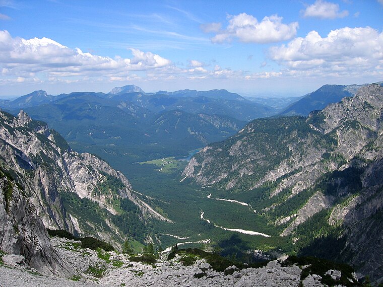
Photo: Tigerente, CC BY-SA 4.0.
In der Röll is a locality, which is situated 5 km northeast of Salzofen cave.
Stimitz
Locality

Photo: Tigerente, CC BY-SA 4.0.
Stimitz is a locality, which is situated 5 km south of Salzofen cave.
Salzofen cave
- Categories: archaeological site and landform
- Location: Styria, Austria, Central Europe, Europe
- View on OpenStreetMap
Latitude
47.68067° or 47° 40′ 50″ northLongitude
13.93597° or 13° 56′ 10″ eastOpen location code
8FVMMWJP+79OpenStreetMap ID
node 1336806663OpenStreetMap feature
natural=cave_entranceOpenStreetMap attribute
wheelchair=noWikidata ID
Q2216197
This page is based on OpenStreetMap, Wikidata, Wikimedia Commons, and Wikipedia.
We’d love your help improving our open data sources. Thank you for contributing.
Satellite Map
Discover Salzofen cave from above in high-definition satellite imagery.
In Other Languages
From Arabic to Turkish—“Salzofen cave” goes by many names.
- Arabic: “كهف سالتسوفن”
- Egyptian Arabic: “كهف سالزوفين”
- German: “Salzofenhöhle”
- Turkish: “Salzofen Mağarası”
Notable Places Nearby
Highlights include Scheiblingkogel and Dreibrüdersee.
Nearby Places
Explore places such as Jh. am Gansing and Emils Tränenhügel.
Styria: Must-Visit Destinations
Delve into Graz, Leoben, Bruck an der Mur, and Kapfenberg.
Curious Caves to Discover
Uncover intriguing caves from every corner of the globe.
About Mapcarta. Data © OpenStreetMap contributors and available under the Open Database License". Text is available under the CC BY-SA 4.0 license, except for photos, directions, and the map. Description text is based on the Wikipedia page “Salzofen cave”. Photo: Kmarka, CC BY-SA 3.0.