Nousiaisten kotiseutumuseo
Nousiaisten kotiseutumuseo is a museum in Finland Proper, West Coast which is located on Topoistentie. Nousiaisten kotiseutumuseo is situated nearby to Nousiainen Church, as well as near the peak Tervavuori.| Tap on a place to explore it |
Places of Interest Nearby
Highlights include Nousiainen Church and Emovaha.
Nousiainen Church
Church
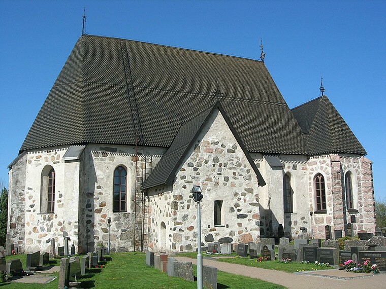
Photo: Lehmankukka, Public domain.
Nousiainen Church is situated 670 metres northeast of Nousiaisten kotiseutumuseo.

Places in the Area
Nearby places include Nousiainen and Turku countryside.
Nousiainen

Photo: Wikimedia, Public domain.
Nousiainen is a mostly rural municipality in the inland of Finland Proper. This was where the first bishops of Finland resided.
Turku countryside

Photo: LPfi, CC BY-SA 3.0.
Turku countryside, the inland countryside north of urban Turku in Finland Proper, can be a nice change from city tourism. There are quiet roads, agritourism farms, small museums and natural landscapes.
Masku
Town
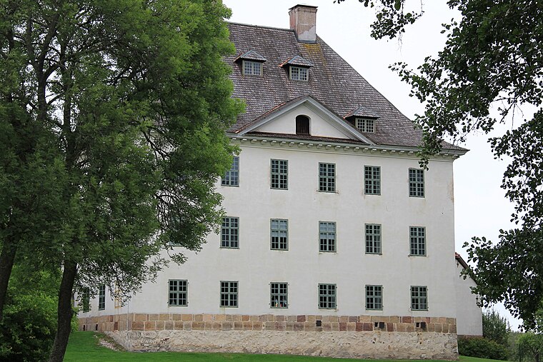
Photo: Htm, CC BY-SA 3.0.
Masku is a municipality of Finland. It is located in the province of Western Finland and is part of the Southwest Finland region. The municipality, which is located about 17 kilometres just north of Turku, has a population of 9,628 and covers an area of 204.01 square kilometres of which 29.21 km2 is water. Masku is situated 5 km south of Nousiaisten kotiseutumuseo.
Nousiaisten kotiseutumuseo
- Type: Museum
- Address: Topoistentie 11, Nousiainen, 21270
- Categories: tourism and tourist attraction
- Location: Finland Proper, West Coast, Finland, Nordic countries, Europe
- View on OpenStreetMap
Latitude
60.61111° or 60° 36′ 40″ northLongitude
22.12146° or 22° 7′ 17″ eastOpen location code
9GG4J46C+CHOpenStreetMap ID
node 13387281934OpenStreetMap feature
tourism=museum
This page is based on OpenStreetMap, Wikidata, and Wikimedia Commons.
We’d love your help improving our open data sources. Thank you for contributing.
Satellite Map
Discover Nousiaisten kotiseutumuseo from above in high-definition satellite imagery.
Notable Places Nearby
Highlights include Tervavuori and Koljolan linnavuori.
Nearby Places
Explore places such as Puutyöliike A.Heikkilä Oy and Topoinen L.
Finland Proper: Must-Visit Destinations
Delve into Turku, Salo, Uusikaupunki, and Kaarina.
Curious Museums to Discover
Uncover intriguing museums from every corner of the globe.
About Mapcarta. Data © OpenStreetMap contributors and available under the Open Database License". Text is available under the CC BY-SA 4.0 license, except for photos, directions, and the map. Photo: Wikimedia, CC0.