Foodequip
Foodequip is in Cork, Munster. Foodequip is situated nearby to Elizabeth Fort, as well as near Cork College of FET Dean Street Youthreach Centre.| Tap on a place to explore it |
Places of Interest Nearby
Highlights include Elizabeth Fort and Saint Fin Barre’s Cathedral.
Elizabeth Fort

Photo: John M, CC BY-SA 2.0.
Elizabeth Fort is a 17th-century star fort off Barrack Street in Cork, Ireland. Originally built as a defensive fortification on high-ground outside the city walls, the city eventually grew around the fort, and it took on various other roles – including use as a military barracks, prison, and police station.
Saint Fin Barre’s Cathedral
Church

Photo: charlie cravero, CC BY 2.0.
Saint Fin Barre's Cathedral is a Gothic Revival three-spire Church of Ireland cathedral in Cork city, Ireland. It is located on the south bank of the River Lee and dedicated to Finbarr of Cork, patron saint of the city. Saint Fin Barre’s Cathedral is situated 150 metres west of Foodequip.
English Market
Marketplace

Photo: Klabauter2, CC BY-SA 3.0.
The English Market is a municipal food market in the center of Cork city, Ireland. It stretches from Princes Street to the Grand Parade, and combines Princes Street Market and Grand Parade Market. English Market is situated 500 metres northeast of Foodequip.
Places in the Area
Nearby places include The Lough and Shandon.
The Lough
Suburb

Photo: Guillermo Moreno, CC BY-SA 2.0.
The Lough is a suburb of Cork city, the electoral division in which it lies, the body of water that gives the area its name and a Roman Catholic parish of the same name.
Shandon
Suburb

Photo: psyberartist, CC BY 2.0.
Shandon is a district on the north-side of Cork city. Shandon lies north of the River Lee and North Gate Bridge, the northernmost point of the medieval city.
Turner’s Cross
Suburb
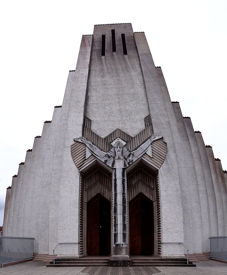
Photo: Uspn, CC BY-SA 3.0.
Turners Cross is a ward on the south side of Cork City in Ireland, and home to the Roman Catholic parish of the same name. Largely residential, one of the key features of the area is the iconic church created by architect Barry Byrne and sculptor John Storrs, the Church of Christ the King.
Foodequip
- Type: Catering
- Category: workshop
- Location: Cork, Munster, Ireland, Britain and Ireland, Europe
- View on OpenStreetMap
Latitude
51.89408° or 51° 53′ 39″ northLongitude
-8.47843° or 8° 28′ 42″ westOpen location code
9C3HVGVC+JJOpenStreetMap ID
node 13392144422OpenStreetMap feature
craft=caterer
This page is based on OpenStreetMap, Wikidata, and Wikimedia Commons.
We’d love your help improving our open data sources. Thank you for contributing.
Satellite Map
Discover Foodequip from above in high-definition satellite imagery.
Notable Places Nearby
Highlights include Cork College of FET Dean Street Youthreach Centre and Proby’s Bridge.
Nearby Places
Explore places such as Belfry House and Complete Upholstery Centre Ltd..
Ireland: Must-Visit Destinations
Delve into Dublin, Limerick, Galway, and Waterford.
Curious Places to Discover
Uncover intriguing places from every corner of the globe.
About Mapcarta. Data © OpenStreetMap contributors and available under the Open Database License". Text is available under the CC BY-SA 4.0 license, except for photos, directions, and the map. Photo: psyberartist, CC BY 2.0.