Anne Arundel County High Point
Anne Arundel County High Point is a peak in Anne Arundel County, Maryland and has an elevation of 299 feet. Anne Arundel County High Point is situated nearby to the neighborhood The Pointe at Arundel Preserve, as well as near the hamlet The Enclave at Arundel Preserve.| Tap on a place to explore it |
Places of Interest
Highlights include National Cryptologic Museum and Maryland House of Correction.
National Cryptologic Museum
Museum

Photo: Wikimedia, CC BY-SA 3.0.
The National Cryptologic Museum is an American museum of cryptologic history that is affiliated with the National Security Agency. The first public museum in the U.S.
Maryland House of Correction
Prison

Photo: thisisbossi, CC BY 2.0.
The Maryland House of Correction, nicknamed "The Cut" or "The House", was a Maryland Department of Corrections state maximum security prison in an unincorporated area in Maryland.
Maryland Correctional Institution for Women
Prison
Maryland Correctional Institution for Women is a multi-level security prison operated by the Maryland Department of Public Safety and Correctional Services in Jessup, Maryland.
Places in the Area
Nearby places include Hanover and Savage.
Hanover

Photo: GoMaryland, Public domain.
Hanover is an unincorporated community in the Baltimore/Annapolis area in northwestern Anne Arundel County and eastern Howard County in the U.S. state of Maryland, south of Baltimore.
Savage

Photo: Jonboy, CC BY-SA 4.0.
Savage is an unincorporated community and census-designated place located in Howard County, Maryland, United States, approximately 18 miles south of Baltimore and 21 miles north of Washington, D.C. It is situated close to the city of Laurel and to the planned community of Columbia.
Severn
Town
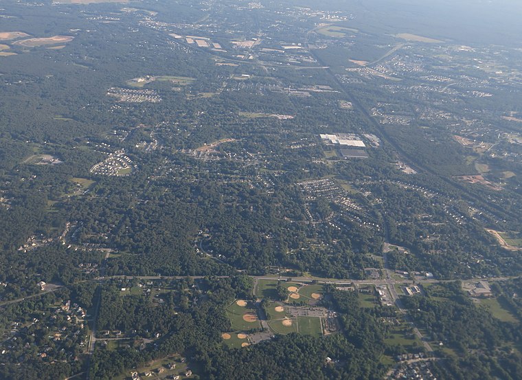
Photo: Ken Lund, CC BY-SA 2.0.
Severn is a census-designated place in Anne Arundel County, Maryland, United States. According to the 2020 U.S. census, the population of Severn is 57,118, a 22.6% increase from 44,231 in 2010. The zip code is 21144.
Anne Arundel County High Point
- Type: Peak with an elevation of 299 feet
- Category: landform
- Location: Anne Arundel County, Maryland, Mid-Atlantic, United States, North America
- View on OpenStreetMap
Latitude
39.14° or 39° 8′ 24″ northLongitude
-76.7485° or 76° 44′ 55″ westElevation
299 feet (91 metres)Open location code
87F547Q2+XHOpenStreetMap ID
node 13429093644OpenStreetMap feature
natural=peak
This page is based on OpenStreetMap, Wikidata, and Wikimedia Commons.
We’d love your help improving our open data sources. Thank you for contributing.
Satellite Map
Discover Anne Arundel County High Point from above in high-definition satellite imagery.
Localities in the Area
Explore places such as The Pointe at Arundel Preserve and The Enclave at Arundel Preserve.
Notable Places Nearby
Highlights include Lion Choi’s Taekwondo and Jessup Fire Company 29.
Maryland: Must-Visit Destinations
Delve into Baltimore, Annapolis, Rockville, and Hagerstown.
Curious Peaks to Discover
Uncover intriguing peaks from every corner of the globe.
About Mapcarta. Data © OpenStreetMap contributors and available under the Open Database License". Text is available under the CC BY-SA 4.0 license, except for photos, directions, and the map. Photo: Maryland GovPics, CC BY 2.0.