Blasenbach
Blasenbach is a locality in Oberdrauburg, Spittal an der Drau District, Carinthia. Blasenbach is situated nearby to the locality Brunnboden, as well as near Greutboden.| Tap on a place to explore it |
Places of Interest
Highlights include Burgruine Flaschberg and Mussen.
Burgruine Flaschberg
Castle

Photo: JJ55, Public domain.
Burgruine Flaschberg is a castle in Carinthia, Austria.
Mussen
Meadow
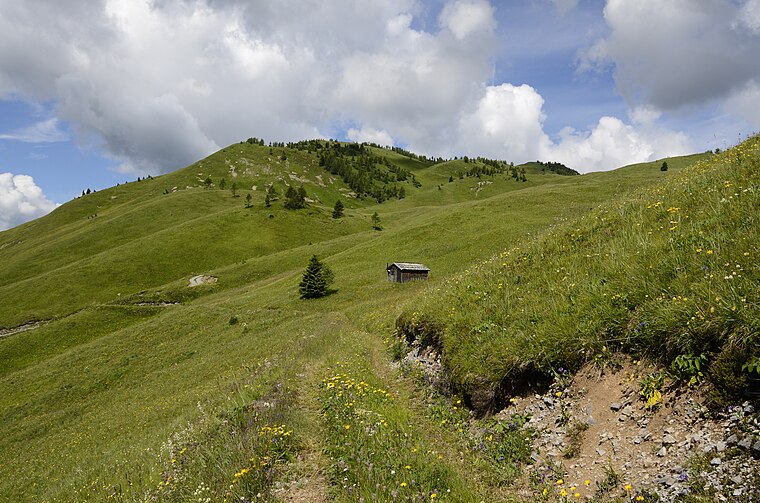
Photo: Johann Jaritz, CC BY-SA 3.0 at.
Mussen is a meadow, which is situated 3½ km south of Blasenbach.
Burgruine Hohenburg
Castle

Photo: Johann Jaritz, CC BY-SA 4.0.
Burgruine Hohenburg is a castle, which is situated 3 km northeast of Blasenbach.
Places in the Area
Nearby places include Laas and Gentschach.
Laas
Village

Photo: Naturpuur, CC BY-SA 4.0.
Laas is a village, which is situated 7 km southeast of Blasenbach.
Gentschach
Hamlet

Photo: Niki.L, CC BY-SA 4.0.
Gentschach is a hamlet, which is situated 8 km south of Blasenbach.
Kötschach
Town

Photo: Wikimedia, Public domain.
Kötschach is a town, which is situated 9 km southeast of Blasenbach.
Blasenbach
- Type: Locality
- Location: Oberdrauburg, Spittal an der Drau District, Carinthia, Austria, Central Europe, Europe
- View on OpenStreetMap
Latitude
46.74262° or 46° 44′ 33″ northLongitude
12.9258° or 12° 55′ 33″ eastOpen location code
8FRJPWVG+28OpenStreetMap ID
node 13434203984OpenStreetMap feature
place=locality
This page is based on OpenStreetMap, Wikidata, and Wikimedia Commons.
We’d love your help improving our open data sources. Thank you for contributing.
Satellite Map
Discover Blasenbach from above in high-definition satellite imagery.
Localities in the Area
Explore places such as Brunnboden and Greutboden.
Notable Places Nearby
Highlights include Kolbenspitz and FF Ötting-Pirkach.
Carinthia: Must-Visit Destinations
Delve into Klagenfurt, Villach, Wörthersee, and Spittal an der Drau.
Curious Localities to Discover
Uncover intriguing localities from every corner of the globe.
About Mapcarta. Data © OpenStreetMap contributors and available under the Open Database License". Text is available under the CC BY-SA 4.0 license, except for photos, directions, and the map. Photo: Wikimedia, CC BY-SA 3.0.