Gräberfeld Frög
Gräberfeld Frög is an archaeological site in Rosegg, Villach-Land District, Carinthia. Gräberfeld Frög is situated nearby to Keltenwelt Frög, as well as near the museum Keltenweg Frög.| Tap on a place to explore it |
Photo: Johann Jaritz, CC BY-SA 3.0 at.
Places of Interest Nearby
Highlights include Keltenwelt Frög and Burgruine Altrosegg.

Burgruine Altrosegg
Castle

Photo: Wikimedia, Public domain.
Burgruine Altrosegg is a castle, which is situated 530 metres northeast of Gräberfeld Frög.
Schloss Rosegg
Museum

Photo: Johann Jaritz, CC BY-SA 4.0.
Schloss Rosegg is a castle in Rosegg, Carinthia, Austria. Schloss Rosegg is 478 metres above sea level. The original castle was known as Altrosegg, built in the 12/13th centuries as a hilltop fort near lake Wörthersee. Schloss Rosegg is situated 1¼ km north of Gräberfeld Frög.
Places in the Area
Nearby places include Dieschitz and Velden.
Dieschitz
Village

Photo: Naturpuur, CC BY-SA 4.0.
Dieschitz is an Austrian village in the municipality of Velden am Wörthersee, Villach, Carinthia.
Velden

Photo: Johann Jaritz, CC BY-SA 4.0.
Velden am Wörther See is a market town in Villach-Land District, in the Austrian state of Carinthia. Situated on the western shore of the Wörthersee lake, it is one of the country's most popular holiday resorts.
Schiefling am Wörthersee
Village
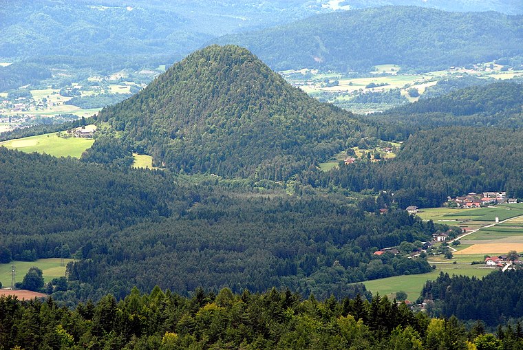
Photo: Johann Jaritz, CC BY-SA 3.0 at.
Schiefling am Wörthersee is a market town in the district of Klagenfurt-Land in the Austrian state of Carinthia. Schiefling am Wörthersee is situated 6 km northeast of Gräberfeld Frög.
Gräberfeld Frög
- Type: Archaeological site
- Description: building in Rosegg, Austria
- Categories: grave field, historic site, tourist attraction, and tourism
- Location: Rosegg, Villach-Land District, Carinthia, Austria, Central Europe, Europe
- View on OpenStreetMap
Latitude
46.58139° or 46° 34′ 53″ northLongitude
14.01923° or 14° 1′ 9″ eastOpen location code
8FRPH2J9+HMOpenStreetMap ID
node 1366265536OpenStreetMap feature
historic=archaeological_siteWikidata ID
Q1551324
This page is based on OpenStreetMap, Wikidata, and Wikimedia Commons.
We’d love your help improving our open data sources. Thank you for contributing.
Satellite Map
Discover Gräberfeld Frög from above in high-definition satellite imagery.
In Other Languages
“Gräberfeld Frög” goes by many names.
- German: “Gräberfeld von Frög”
- German: “Hügelgräberfeld Frög”
Notable Places Nearby
Highlights include Keltenweg Frög and Luchs.
Nearby Places
Explore places such as Aktiv-Hotel Gargantini and Rosegg Frög Gasthaus Seidl.
Carinthia: Must-Visit Destinations
Delve into Klagenfurt, Villach, Wörthersee, and Spittal an der Drau.
Curious Archaeological Sites to Discover
Uncover intriguing archaeological sites from every corner of the globe.
About Mapcarta. Data © OpenStreetMap contributors and available under the Open Database License". Text is available under the CC BY-SA 4.0 license, except for photos, directions, and the map. Photo: Johann Jaritz, CC BY-SA 3.0 at.