Pub WetWet
Pub WetWet is a café in Kohfidisch, Oberwart District, Burgenland. Pub WetWet is situated nearby to the castle Schloss Kohfidisch, as well as near the church Marienkapelle.| Tap on a place to explore it |
Places of Interest Nearby
Highlights include Schloss Kohfidisch and Saints Peter and Paul Church.
Schloss Kohfidisch
Castle
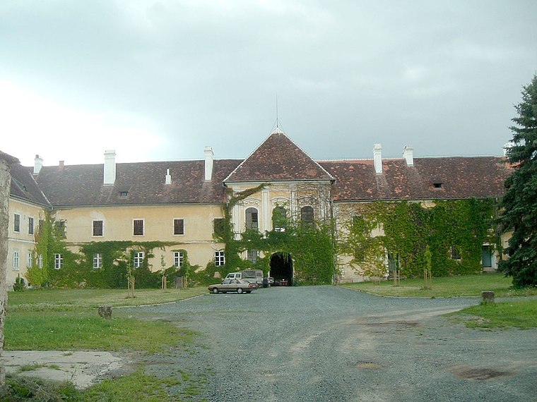
Photo: Darinko, Public domain.
Schloss Kohfidisch is a castle, which is situated 410 metres northeast of Pub WetWet.
Saints Peter and Paul Church
Church
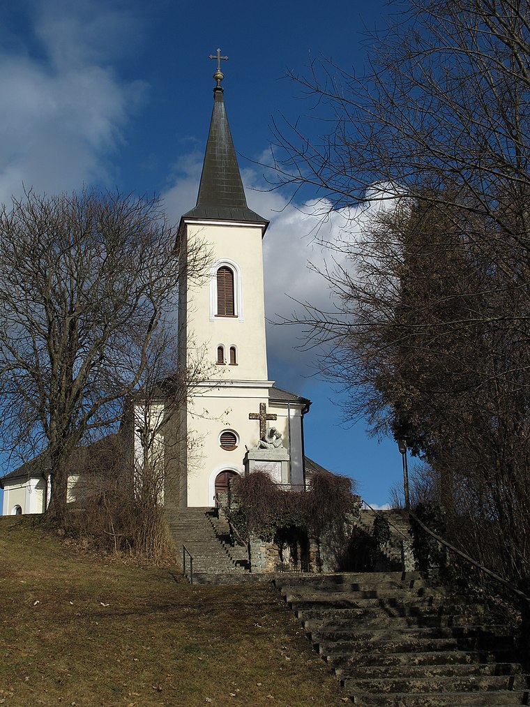
Photo: Ueb-at, CC BY-SA 3.0.
Saints Peter and Paul Church is situated 1 km south of Pub WetWet.
Statue of Saint John of Nepomuk
Work of art

Photo: Zeitblick, CC BY-SA 4.0.
Statue of Saint John of Nepomuk is a work of art, which is situated 660 metres northeast of Pub WetWet.
Places in the Area
Nearby places include Kirchfidisch and Kotezicken.
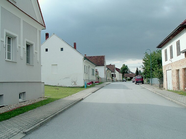
Kotezicken
Village

Photo: Darinko, Public domain.
Kotezicken is a village, which is situated 3 km north of Pub WetWet.
Harmisch
Village

Photo: Darinko, Public domain.
Harmisch is a village, which is situated 3½ km southeast of Pub WetWet.
Pub WetWet
- Type: Café
- Wheelchair access: limited
- Location: Kohfidisch, Oberwart District, Burgenland, Austria, Central Europe, Europe
- View on OpenStreetMap
Latitude
47.16961° or 47° 10′ 11″ northLongitude
16.35389° or 16° 21′ 14″ eastOpen location code
8FVR5993+RHOpenStreetMap ID
node 1369908573OpenStreetMap feature
amenity=cafeOpenStreetMap attribute
wheelchair=limited
This page is based on OpenStreetMap, Wikidata, and Wikimedia Commons.
We’d love your help improving our open data sources. Thank you for contributing.
Satellite Map
Discover Pub WetWet from above in high-definition satellite imagery.
Notable Places Nearby
Highlights include Marienkapelle and Polizei.
Nearby Places
Explore places such as Dr. Otmar Kraxner and Im Schloss.
Burgenland: Must-Visit Destinations
Delve into Eisenstadt, Neusiedl am See, Rust, and Güssing.
Curious Cafés to Discover
Uncover intriguing cafés from every corner of the globe.
About Mapcarta. Data © OpenStreetMap contributors and available under the Open Database License". Text is available under the CC BY-SA 4.0 license, except for photos, directions, and the map. Photo: Wikimedia, CC BY-SA 4.0.