Reitstall Pulheim
Reitstall Pulheim is a recreation area in Cologne, Cologne Lowland, North Rhine-Westphalia which is located on Fuchskaulenweg. Reitstall Pulheim is situated nearby to the playground Piratenspielplatz, as well as near the cemetery Friedhof Rodenkirchen.| Tap on a place to explore it |
Places of Interest Nearby
Highlights include St. Joseph and Nikolauskapelle.
St. Joseph
Church

Photo: Elya, CC BY-SA 3.0.
St. Joseph is a church, which is situated 1 km west of Reitstall Pulheim.
Nikolauskapelle
Church

Photo: Wikimedia, CC BY-SA 2.5.
Nikolauskapelle is a church, which is situated 1¼ km north of Reitstall Pulheim.
Erlöserkirche (Rodenkirchen)
Church
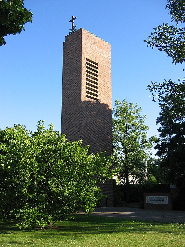
Photo: Andreasdziewior, Public domain.
Erlöserkirche (Rodenkirchen) is a church, which is situated 1¼ km west of Reitstall Pulheim.
Places in the Area
Nearby places include Zündorf and Finkenberg.
Zündorf
Suburb
Zündorf is a suburb of Cologne, Germany and part of the district of Porz. Zündorf lies on the right bank of the river Rhine, between Langel and Porz. Zündorf has 12.229 inhabitants and covers an area of 8,12 km2. Zündorf is situated 3 km southeast of Reitstall Pulheim.
Finkenberg
Suburb

Photo: Chris06, CC BY-SA 4.0.
Finkenberg is a suburb, which is situated 3½ km east of Reitstall Pulheim.
Bayenthal
Suburb

Photo: ZH2010, CC BY-SA 3.0.
Bayenthal is a neighbourhood of Cologne, Germany and part of the district of Rodenkirchen. Bayenthal lies on the left bank of the river Rhine, between the district of Innenstadt to the North and Marienburg neighbourhood to the South. Bayenthal is situated 4½ km northwest of Reitstall Pulheim.
Reitstall Pulheim
- Type: Equestrianism
- Address: Fuchskaulenweg 32, Köln, 50999
- Categories: recreation area and sports location
- Location: Cologne, Cologne District, Cologne Lowland, North Rhine-Westphalia, Germany, Central Europe, Europe
- View on OpenStreetMap
Latitude
50.88499° or 50° 53′ 6″ northLongitude
7.01539° or 7° 0′ 55″ eastOpen location code
9F29V2M8+X5OpenStreetMap ID
node 1388442961OpenStreetMap feature
leisure=horse_ridingOpenStreetMap feature
sport=equestrian
This page is based on OpenStreetMap, Wikidata, and Wikimedia Commons.
We’d love your help improving our open data sources. Thank you for contributing.
Satellite Map
Discover Reitstall Pulheim from above in high-definition satellite imagery.
Notable Places Nearby
Highlights include Piratenspielplatz and Friedhof Rodenkirchen.
Nearby Places
Explore places such as Richard-Wagner-Straße and Richard-Wagner-Straße.
Cologne Lowland: Must-Visit Destinations
Delve into Bonn, Leverkusen, Siegburg, and Bad Honnef.
Curious Places to Discover
Uncover intriguing places from every corner of the globe.
About Mapcarta. Data © OpenStreetMap contributors and available under the Open Database License". Text is available under the CC BY-SA 4.0 license, except for photos, directions, and the map. Photo: Ahgee, CC BY-SA 3.0.