Broager ***group 1935-2010
Broager ***group 1935-2010 is a memorial in Sønderborg Municipality, Region of Southern Denmark. Broager ***group 1935-2010 is situated nearby to Skodsbøl Lighthouse, as well as near the hamlet Brunsnæs.| Tap on a place to explore it |
Places of Interest Nearby
Highlights include Skodsbøl Lighthouse and Broager Church.
Skodsbøl Lighthouse
Lighthouse

Photo: Soenke Rahn, CC BY-SA 4.0.
Skodsbøl Lighthouse is situated 590 metres west of Broager ***group 1935-2010.
Broager Church
Church

Photo: Soenke Rahn, CC BY-SA 4.0.
Broager Church is a church in the locality of Broager, Denmark. Broager Church is situated 1½ km east of Broager ***group 1935-2010.
Schmölwall
Archaeological site
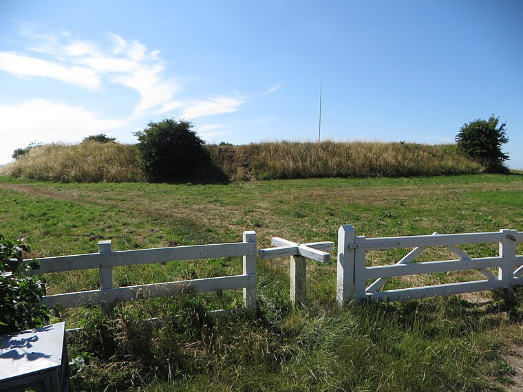
Photo: Soenke Rahn, CC BY-SA 4.0.
Schmölwall is an archaeological site, which is situated 1½ km northeast of Broager ***group 1935-2010.
Places in the Area
Nearby places include Broager and Brunsnæs.
Broager
Village

Photo: Hubertus, CC BY-SA 3.0.
Broager is a town with a population of 3,227 in Sønderborg Municipality in Region of Southern Denmark, Denmark. It lies on the Broager Peninsula and is therefore surrounded by water on three sides, the waters of Flensborg Fjord leading into the Baltic Sea.
Brunsnæs
Hamlet

Photo: Soenke Rahn, CC BY-SA 4.0.
Brunsnæs is a hamlet, which is situated 3 km south of Broager ***group 1935-2010.
Egernsund
Village

Photo: Erik Christensen, CC BY 3.0.
Egernsund is a small town, with a population of 1,431, in Sønderborg Municipality, Region of Southern Denmark in Denmark. Egernsund is situated on the northwestern end of the small peninsula of Broager Land on the northern shore of Flensborg Fjord and east of the short and narrow strait, called Egern Strait, connecting the firth with the small inlet of Nybøl Nor to the north. Egernsund is situated 3½ km northwest of Broager ***group 1935-2010.
Broager ***group 1935-2010
- Type: Memorial
- Category: historic site
- Location: Sønderborg Municipality, Region of Southern Denmark, Denmark, Nordic countries, Europe
- View on OpenStreetMap
Latitude
54.89198° or 54° 53′ 31″ northLongitude
9.64943° or 9° 38′ 58″ eastOpen location code
9F6FVJRX+QQOpenStreetMap ID
node 1411531874OpenStreetMap feature
historic=memorial
This page is based on OpenStreetMap, Wikidata, and Wikimedia Commons.
We’d love your help improving our open data sources. Thank you for contributing.
Satellite Map
Discover Broager ***group 1935-2010 from above in high-definition satellite imagery.
Notable Places Nearby
Highlights include Broager Frivillige brandværn and Broagerlands Rideklub.
Nearby Places
Explore places such as Nejsmølle and Gendarmstien.
Denmark: Must-Visit Destinations
Delve into Copenhagen, Aarhus, Odense, and Aalborg.
Curious Memorials to Discover
Uncover intriguing memorials from every corner of the globe.
About Mapcarta. Data © OpenStreetMap contributors and available under the Open Database License". Text is available under the CC BY-SA 4.0 license, except for photos, directions, and the map. Photo: Wikimedia, CC BY-SA 3.0.