Radwanderer Infotafel
Radwanderer Infotafel is in Osternienburger Land, Anhalt-Bitterfeld, Saxony-Anhalt. Radwanderer Infotafel is situated nearby to the church Kirche Thurau, as well as near 1. TC Trinum.| Tap on a place to explore it |
Places in the Area
Nearby places include Thurau and Großpaschleben.
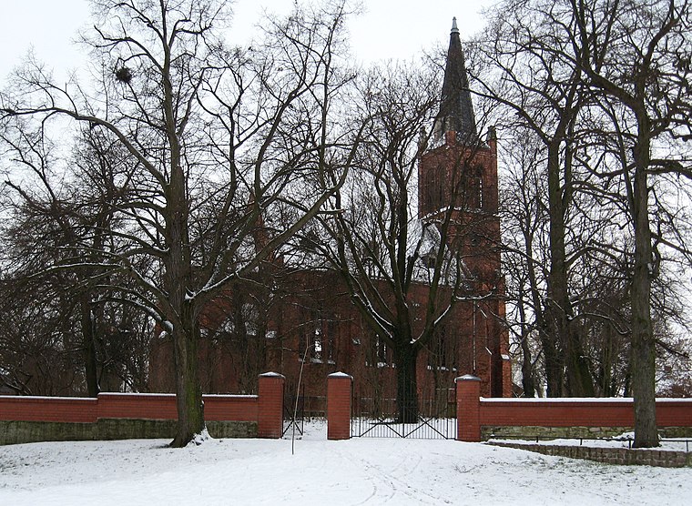
Großpaschleben
Village

Photo: Jwaller, CC BY-SA 3.0.
Großpaschleben is a village and a former municipality in the district of Anhalt-Bitterfeld, in Saxony-Anhalt, Germany. Since January 1, 2010, it is part of the municipality Osternienburger Land.
Mölz
Hamlet

Photo: Jwaller, CC BY-SA 4.0.
Mölz is a hamlet, which is situated 3 km west of Radwanderer Infotafel.
Radwanderer Infotafel
- Type: Sign
- Categories: information and tourism
- Location: Osternienburger Land, Anhalt-Bitterfeld, Saxony-Anhalt, Germany, Central Europe, Europe
- View on OpenStreetMap
Latitude
51.77649° or 51° 46′ 35″ northLongitude
11.92437° or 11° 55′ 28″ eastOpen location code
9F3HQWGF+HPOpenStreetMap ID
node 1413442667OpenStreetMap feature
tourism=information
This page is based on OpenStreetMap, Wikidata, and Wikimedia Commons.
We’d love your help improving our open data sources. Thank you for contributing.
Satellite Map
Discover Radwanderer Infotafel from above in high-definition satellite imagery.
Notable Places Nearby
Highlights include Kirche Thurau and 1. TC Trinum.
Nearby Places
Explore places such as Gartensparte Thurau and Thurau.
Saxony-Anhalt: Must-Visit Destinations
Delve into Magdeburg, Halle, Wittenberg, and Quedlinburg.
Curious Places to Discover
Uncover intriguing places from every corner of the globe.
About Mapcarta. Data © OpenStreetMap contributors and available under the Open Database License". Text is available under the CC BY-SA 4.0 license, except for photos, directions, and the map. Photo: Sicherlich, CC BY 4.0.