The Neck Stop
The Neck Stop is a convenience store in Baltimore County, Central Maryland, Maryland. The Neck Stop is situated nearby to the nature reserve Somogyi Property Park Site, as well as near the fire station Baltimore County Fire Department Station 58 - Back River Neck.| Tap on a place to explore it |
Places of Interest Nearby
Highlights include Essex Skypark and Ballestone Mansion.
Essex Skypark
Aerodrome
Essex Skypark is a publicly owned general aviation airport and seaplane base located in Baltimore County, Maryland, United States, on the Back River Neck Peninsula off the Chesapeake Bay.
Ballestone Mansion
Manor estate

Photo: Magicpiano, CC BY-SA 4.0.
The Ballestone-Stansbury House, once misidentified as the Ballestone Mansion, is a historic plantation home located on Cedar Point between Back and Middle Rivers in Essex, Baltimore County, Maryland, United States. Ballestone Mansion is situated 2 miles south of The Neck Stop.
Places in the Area
Nearby places include North Point Village and Edgemere.
North Point Village
Village
Dundalk is an unincorporated community and census-designated place in Baltimore County, Maryland, United States. The population was 67,796 at the 2020 census. North Point Village is situated 2½ miles southwest of The Neck Stop.
Edgemere
Village
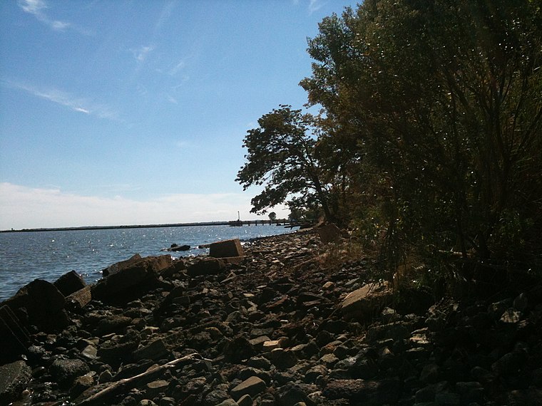
Photo: boothy443, CC BY-SA 3.0.
Edgemere is an unincorporated community and census-designated place in Baltimore County, Maryland, United States. The population was 8,669 at the 2010 census. Edgemere is situated 3 miles south of The Neck Stop.
Bowleys Quarters
Village

Photo: Jccohen, Public domain.
Bowleys Quarters is an unincorporated community and census-designated place in Baltimore County, Maryland, United States, with a population of 6,755 at the 2010 census. Bowleys Quarters is situated 3 miles northeast of The Neck Stop.
The Neck Stop
- Type: Convenience store
- Categories: shop and food
- Location: Baltimore County, Central Maryland, Maryland, Mid-Atlantic, United States, North America
- View on OpenStreetMap
Latitude
39.28193° or 39° 16′ 55″ northLongitude
-76.42678° or 76° 25′ 36″ westOpen location code
87F57HJF+Q7OpenStreetMap ID
node 1422595532OpenStreetMap feature
shop=convenience
This page is based on OpenStreetMap, Wikidata, and Wikimedia Commons.
We’d love your help improving our open data sources. Thank you for contributing.
Satellite Map
Discover The Neck Stop from above in high-definition satellite imagery.
Notable Places Nearby
Highlights include Somogyi Property Park Site and Baltimore County Fire Department Station 58 - Back River Neck.
Nearby Places
Explore places such as Johann’s and Chesapeake High School.
Baltimore County: Must-Visit Destinations
Delve into Towson, Pikesville, Owings Mills, and Cockeysville.
Curious Convenience Stores to Discover
Uncover intriguing convenience stores from every corner of the globe.
About Mapcarta. Data © OpenStreetMap contributors and available under the Open Database License". Text is available under the CC BY-SA 4.0 license, except for photos, directions, and the map. Photo: Wikimedia, CC0.