Naturpfad Gipsgrube Zeglingen
Naturpfad Gipsgrube Zeglingen is in Zeglingen, Sissach District, Basel-Landschaft. Naturpfad Gipsgrube Zeglingen is situated nearby to the peak Isenflue, as well as near Chienberg.| Tap on a place to explore it |
Places of Interest Nearby
Highlights include Castle site Altschloss and Wisenberg.
Castle site Altschloss
Archaeological site

Photo: Kvgunten, CC BY-SA 4.0.
Castle site Altschloss is an archaeological site, which is situated 1 km northeast of Naturpfad Gipsgrube Zeglingen.
Wisenberg
Peak

Photo: Milseburg, CC BY-SA 4.0.
The Wisenberg is a wooded mountain of the Jura Mountains, located between Häfelfingen and Wisen in northern Switzerland. The summit lies within the canton of Basel-Landschaft, near the border with the canton of Solothurn. Wisenberg is situated 2½ km west of Naturpfad Gipsgrube Zeglingen.
Wartenfels Castle
Castle

Photo: DidiWeidmann, CC BY-SA 3.0.
Wartenfels Castle is situated 2½ km southeast of Naturpfad Gipsgrube Zeglingen.
Places in the Area
Nearby places include Kilchberg and Wisen.
Kilchberg
Village
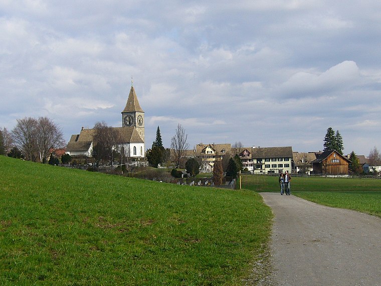
Photo: Wikimedia, CC BY-SA 3.0.
Kilchberg is a municipality in the district of Sissach in the canton of Basel-Country in Switzerland. Kilchberg is situated 2½ km northwest of Naturpfad Gipsgrube Zeglingen.
Wisen
Village

Photo: DidiWeidmann, CC BY-SA 3.0.
Wisen is a municipality in the district of Gösgen in the canton of Solothurn in Switzerland. Wisen is situated 3 km southwest of Naturpfad Gipsgrube Zeglingen.
Rohr
Village

Photo: DidiWeidmann, CC BY-SA 3.0.
Rohr is a former municipality in the district of Gösgen in the canton of Solothurn in Switzerland. On 1 January 2021 the former municipality of Rohr merged into Stüsslingen. Rohr is situated 3 km east of Naturpfad Gipsgrube Zeglingen.
Naturpfad Gipsgrube Zeglingen
- Type: Sign
- Categories: information and tourism
- Location: Zeglingen, Sissach District, Basel-Landschaft, Switzerland, Central Europe, Europe
- View on OpenStreetMap
Latitude
47.40687° or 47° 24′ 25″ northLongitude
7.91587° or 7° 54′ 57″ eastOpen location code
8FV9CW48+P8OpenStreetMap ID
node 1430432901OpenStreetMap feature
tourism=information
This page is based on OpenStreetMap, Wikidata, and Wikimedia Commons.
We’d love your help improving our open data sources. Thank you for contributing.
Satellite Map
Discover Naturpfad Gipsgrube Zeglingen from above in high-definition satellite imagery.
Notable Places Nearby
Highlights include Isenflue and Chienberg.
Nearby Places
Explore places such as Skihuette Staffelalp and Jagdhütte der Jagdgesellschaft Altschloss Zeglingen.
Switzerland: Must-Visit Destinations
Delve into Zurich, Berne, Geneva, and Basel.
Curious Places to Discover
Uncover intriguing places from every corner of the globe.
About Mapcarta. Data © OpenStreetMap contributors and available under the Open Database License". Text is available under the CC BY-SA 4.0 license, except for photos, directions, and the map. Photo: Simonizer, CC BY-SA 2.0 de.