Cerro del Cuatro
Cerro del Cuatro is a volcano in Tlaquepaque Municipality, Jalisco and has an elevation of 1,860 metres. Cerro del Cuatro is situated nearby to the neighborhood El Rocío, as well as near Lomas del Pedregal.| Tap on a place to explore it |
Places of Interest
Highlights include Santuario Mártires de Cristo Rey light rail station and España.
Santuario Mártires de Cristo Rey light rail station
Railway stop
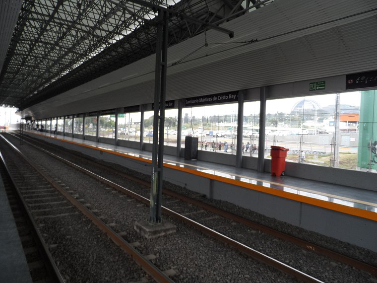
Photo: Elmerhomerochombo, CC BY-SA 4.0.
Santuario Mártires de Cristo Rey is the nineteenth station from north to south, and the second in the opposite direction, of Line 1 of the Sistema de Tren Eléctrico Urbano in Guadalajara, Mexico.

Patria railway station
Railway stop

Photo: Qk-racho, CC BY-SA 3.0.
Patria railway station is a railway stop.
Cerro del Cuatro
- Type: Volcano with an elevation of 1,860 metres
- Category: landform
- Location: Tlaquepaque Municipality, Jalisco, Pacific Coast, Mexico, North America
- View on OpenStreetMap
Latitude
20.5995° or 20° 35′ 58″ northLongitude
-103.3631° or 103° 21′ 47″ westElevation
1,860 metres (6,102 feet)Open location code
75GRHJXP+RQOpenStreetMap ID
node 1433127636OpenStreetMap feature
natural=volcano
This page is based on OpenStreetMap, Wikidata, and Wikimedia Commons.
We’d love your help improving our open data sources. Thank you for contributing.
Satellite Map
Discover Cerro del Cuatro from above in high-definition satellite imagery.
Localities in the Area
Explore places such as El Rocío and Lomas del Pedregal.
Notable Places Nearby
Highlights include Capilla Virgen de Guadalupe and Cancha de futbol.
Jalisco: Must-Visit Destinations
Delve into Guadalajara, Puerto Vallarta, Tequila, and Tepatitlan.
Curious Volcanoes to Discover
Uncover intriguing volcanoes from every corner of the globe.
About Mapcarta. Data © OpenStreetMap contributors and available under the Open Database License". Text is available under the CC BY-SA 4.0 license, except for photos, directions, and the map. Photo: Davalemacmar, CC BY-SA 3.0.