Jervis
Jervis is a parking area in Dublin, Leinster. Jervis is situated nearby to Wolfe Tone Square, as well as near the government office Public Appointments Service.| Tap on a place to explore it |
Places of Interest Nearby
Highlights include Jervis Shopping Centre and Dublin Castle.
Jervis Shopping Centre
Shopping center
The Jervis Shopping Centre is a major shopping centre in Dublin, Ireland. Opened in 1996, the centre is located in the area bordered by Jervis Street, Upper Abbey Street, Mary Street, and Liffey Street.
Dublin Castle
Dublin Castle is a major Irish government complex, conference centre, and tourist attraction. It is located off Dame Street in central Dublin. Originally a motte-and-bailey castle chosen for its position at the highest point of central Dublin, it was mostly rebuilt, from the late 17th century onward, as a Georgian palace. Dublin Castle is situated 590 metres south of Jervis.Wolfe Tone Square
Square
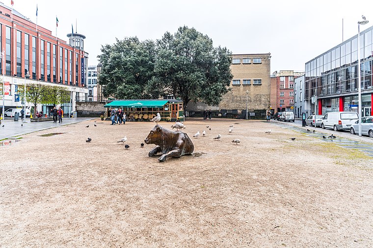
Photo: William Murphy, CC BY-SA 2.0.
Wolfe Tone Park, also known as Wolfe Tone Square, is a public space in Dublin, Ireland. It is bounded by Mary Street to the north, Jervis Street to the east, and Wolfe Tone Street to the west.
Places in the Area
Nearby places include Temple Bar and Smithfield.
Temple Bar
Quarter
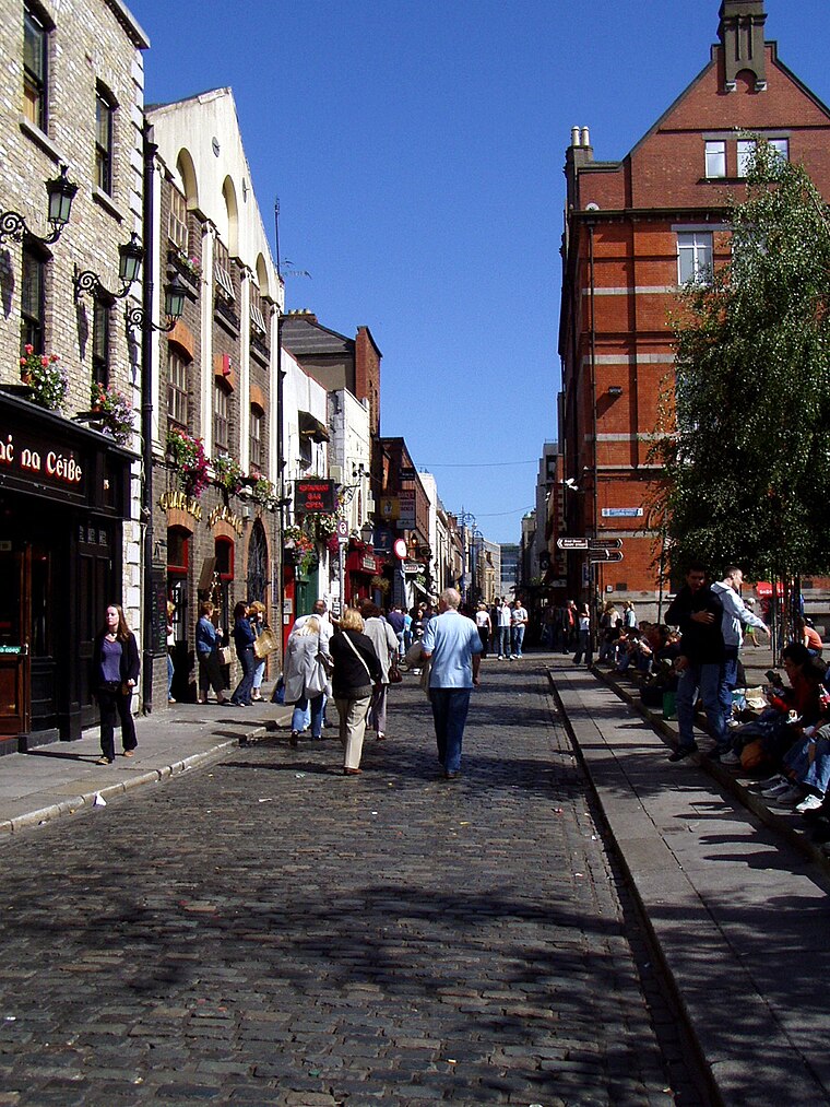
Photo: Wikimedia, Public domain.
Dublin is the capital city of Ireland. Its vibrancy, nightlife and tourist attractions are world renowned and it's the most popular entry point for international visitors to Ireland.
Smithfield
Quarter

Photo: Sheila1988, CC BY-SA 4.0.
Smithfield is an area on the Northside of Dublin, Ireland. Its focal point is a public square, formerly an open market and common, now officially called Smithfield Plaza, but known locally as Smithfield Square or Smithfield Market.
Grangegorman
Suburb
Grangegorman is an inner suburb on the northside of Dublin city, Ireland. The area is administered by Dublin City Council. It was best known for decades as the location of St Brendan's Hospital, which was the main psychiatric hospital serving the greater Dublin region.
Jervis
- Type: Parking area
- Parking: multi-storey
- Category: transportation
- Location: Dublin, Leinster, Ireland, Britain and Ireland, Europe
- View on OpenStreetMap
Latitude
53.34794° or 53° 20′ 53″ northLongitude
-6.26621° or 6° 15′ 58″ westOpen location code
9C5M8PXM+5GOpenStreetMap ID
node 1433447798OpenStreetMap feature
amenity=parkingOpenStreetMap attribute
parking=multi-storey
This page is based on OpenStreetMap, Wikidata, and Wikimedia Commons.
We’d love your help improving our open data sources. Thank you for contributing.
Satellite Map
Discover Jervis from above in high-definition satellite imagery.
Places with the Same Name
Discover other places named “Jervis”.
Notable Places Nearby
Highlights include FLYEfit Jervis Street and Public Appointments Service.
Nearby Places
Explore places such as Champion JD and KFC.
Ireland: Must-Visit Destinations
Delve into Cork, Limerick, Galway, and Waterford.
Curious Parking Areas to Discover
Uncover intriguing parking areas from every corner of the globe.
About Mapcarta. Data © OpenStreetMap contributors and available under the Open Database License". Text is available under the CC BY-SA 4.0 license, except for photos, directions, and the map. Photo: Wikimedia, CC0.