Maximinense
Maximinense is a bakery in Braga (Maximinos, Sé e Cividade), Braga. Maximinense is situated nearby to the railway station Braga train station, as well as near Antiga Estação Ferroviária de Braga.| Tap on a place to explore it |
Places of Interest Nearby
Highlights include Balneário Pré-Romano de Bracara and Braga train station.
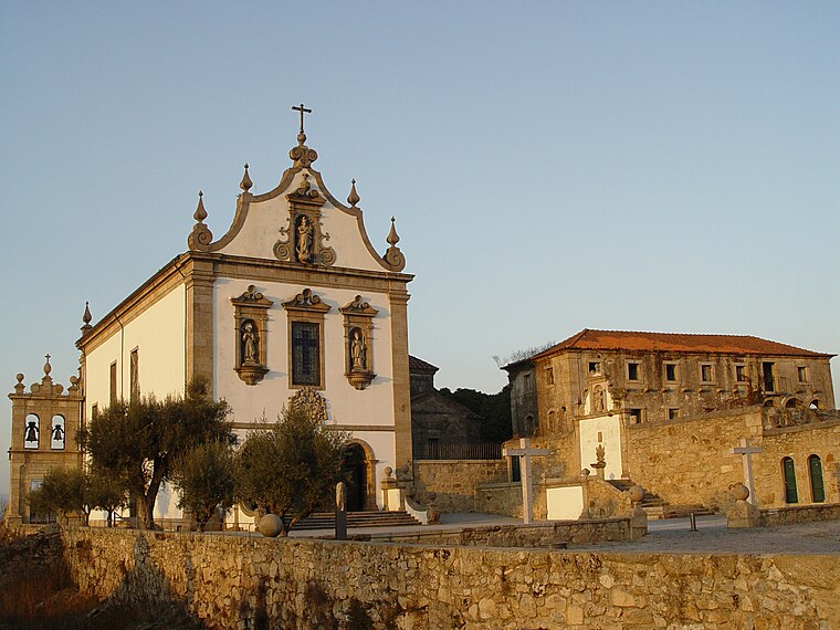
Balneário Pré-Romano de Bracara
Archaeological site

Photo: Joseolgon, CC BY-SA 4.0.
Balneário Pré-Romano de Bracara is an archaeological site.
Braga train station
Railway stop

Photo: Sharon Hahn Darlin, CC BY 2.0.
Braga train station is a railway stop.

Places in the Area
Nearby places include Sé and São João do Souto.
Sé
Suburb
Braga is a civil parish in the municipality of Braga, Portugal. It was formed in 2013 by the merger of the former parishes Maximinos, Sé and Cividade. The population in 2011 was 14,572, in an area of 2.57 km2.
São João do Souto
Suburb
Braga is a civil parish in the municipality of Braga, Portugal. It was formed in 2013 by the merger of the former parishes São José de São Lázaro and São João do Souto.
Maximinense
- Type: Bakery
- Categories: shop and food
- Location: Braga (Maximinos, Sé e Cividade), Braga, Braga District, Portugal, Iberia, Europe
- View on OpenStreetMap
Latitude
41.54813° or 41° 32′ 53″ northLongitude
-8.43394° or 8° 26′ 2″ westOpen location code
8CHHGHX8+7COpenStreetMap ID
node 1446376865OpenStreetMap feature
shop=bakery
This page is based on OpenStreetMap, Wikidata, and Wikimedia Commons.
We’d love your help improving our open data sources. Thank you for contributing.
Satellite Map
Discover Maximinense from above in high-definition satellite imagery.
Notable Places Nearby
Highlights include Braga train station and Antiga Estação Ferroviária de Braga.
Nearby Places
Explore places such as Escola Europeia de Ensino Profissional and Mini Market.
Portugal: Must-Visit Destinations
Delve into Lisbon, Caldas da Rainha, Porto, and Coimbra.
Curious Bakeries to Discover
Uncover intriguing bakeries from every corner of the globe.
About Mapcarta. Data © OpenStreetMap contributors and available under the Open Database License". Text is available under the CC BY-SA 4.0 license, except for photos, directions, and the map. Photo: Jjtkk, CC BY 3.0.